Carr Creek Lake Shelters
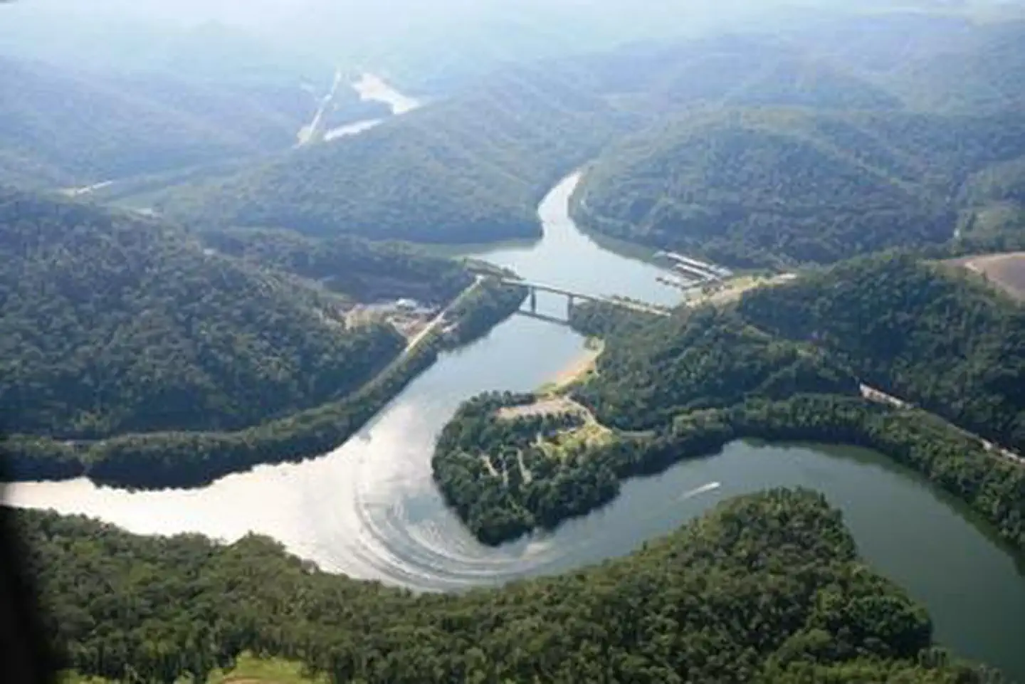 Photo · U.S. Army Corps of Engineers
The place
Carr Creek Lake Shelters are located on Carr Creek Lake on the same side of Kentucky Highway 160 as Littcarr Campground. The U.S. Army Corps of Engineers, in cooperation with the Commonwealth of Kentucky, manages the land and water at Carr Creek Lake for wildlife, fisheries and recreation. Recreation The 710-acre lake and surrounding area offer a wide variety of outdoor recreation opportunities. Boating and water skiing are popular activities on the lake. For the sportsman, fishing is an ever-present activity. Crappie, bass, bluegill and walleye are plentiful in the lake and provide hours of fishing enjoyment. Keep reading
Also, the Kentucky Department of Fish and Wildlife release trout in the tailwater throughout the summer months. Hikers can find a short nature trail, less than a mile long, in the Dam/Tailwater area. For a bit more adventure, the 6-mile Sugar Branch Trail begins at the dam and ends at Sugar Lake Road. Facilities A total of eight picnic shelters are open for use from April through September. The shelters are known as Dogwood, Holly, Laurel, Pin Oak, Poplar, Sycamore, White Pine and Willow. Each is accessible and equipped with electricity, grills, picnic tables and lighting. Each shelter can accommodate up to 200 people; However we are asking that the number of people at each site will be limited to 10 persons due to the COVID-19 outbreak. Willow, Pin Oak, White Pine and Dogwood are located at the Littcarr Recreation Area, offering access to a boat ramp, playground, horseshoe pit and shoreline fishing. Sycamore and Poplar are in the Dam/Tailwater Area, with a horseshoe pit, large playground and volleyball courts nearby. Laurel and Holly are at the marina, where guests have access to a boat ramp, playground, horseshoe pits and accessible fishing pier. Restrooms are located near all shelters. Natural Features Carr Creek Lake is located in the mountainous region of southeastern Kentucky, about 16 miles from Hazard and 18 miles from Whitesburg. The dam is located 8.8 miles above the mouth of Carr Fork, a tributary of the North Fork of the Kentucky River.
The sites · 8
| Loop | Site | Type | Max rig | Electric | ADA |
|---|---|---|---|---|---|
| Dogwood | Dogwood Shelter | group shelter electric | — | 20 | yes |
| Holly | Holly Shelter | group shelter electric | — | 20 | yes |
| Laurel | Laurel Shelter | group shelter electric | — | 20 | yes |
| Pin Oak | Pin Oak Shelter | group shelter electric | — | 20 | yes |
| Poplar | Poplar Shelter | group shelter electric | — | 20 | yes |
| Sycamore | Sycamore Shelter | group shelter electric | — | 20 | yes |
| White Pine | White Pine Shelter | group shelter electric | — | 20 | yes |
| Willow | Willow Shelter | group shelter electric | — | 20 | yes |
Booking
Recreation.gov default: most campsites can be booked six months prior to arrival date. Most campgrounds go on sale at 7am PT / 8am MT / 10am ET, but not always; check the facility Seasons and Fees tab. Some locations also offer shorter supplemental booking windows.
Book on recreation.govYour representative
This campground sits in KY-05. This member’s public-lands record →