National Park Service · California
Redwood National Park
4 federal campgrounds, 3 of them with first-come, first-served sites.
4Campgrounds
3With first-come sites
$35A night at the one priced
332Sites
20–370 ftElevation
Where they are
4 of 4 mappedDrawing the map
© OpenFreeMap · OpenStreetMap · Esri hillshadeSource: RIDB · NPS · USFS EDW · BLM, unified by CAMPANAC · Sep 8, 2026
The campgrounds · 4
4 campgrounds
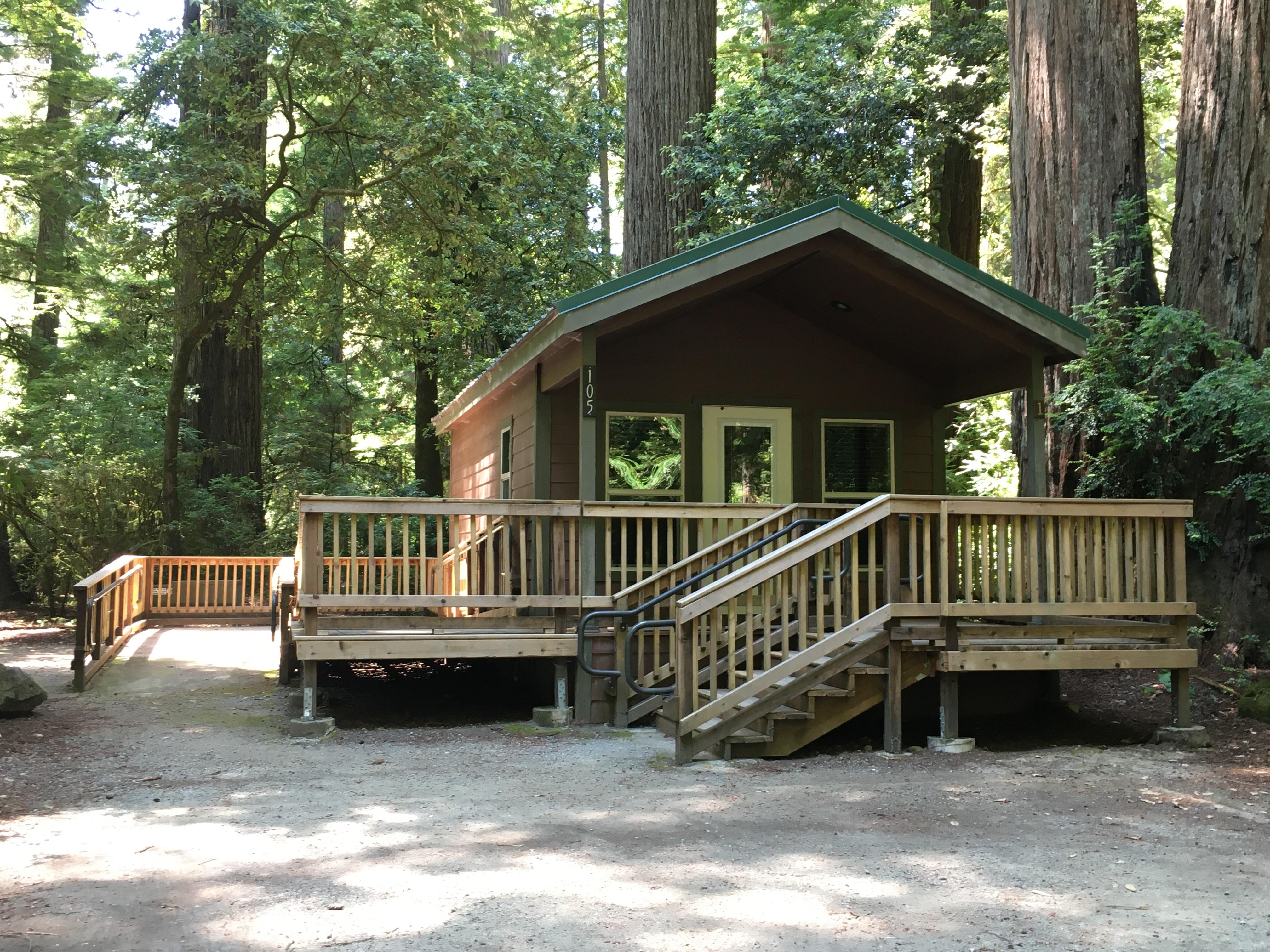
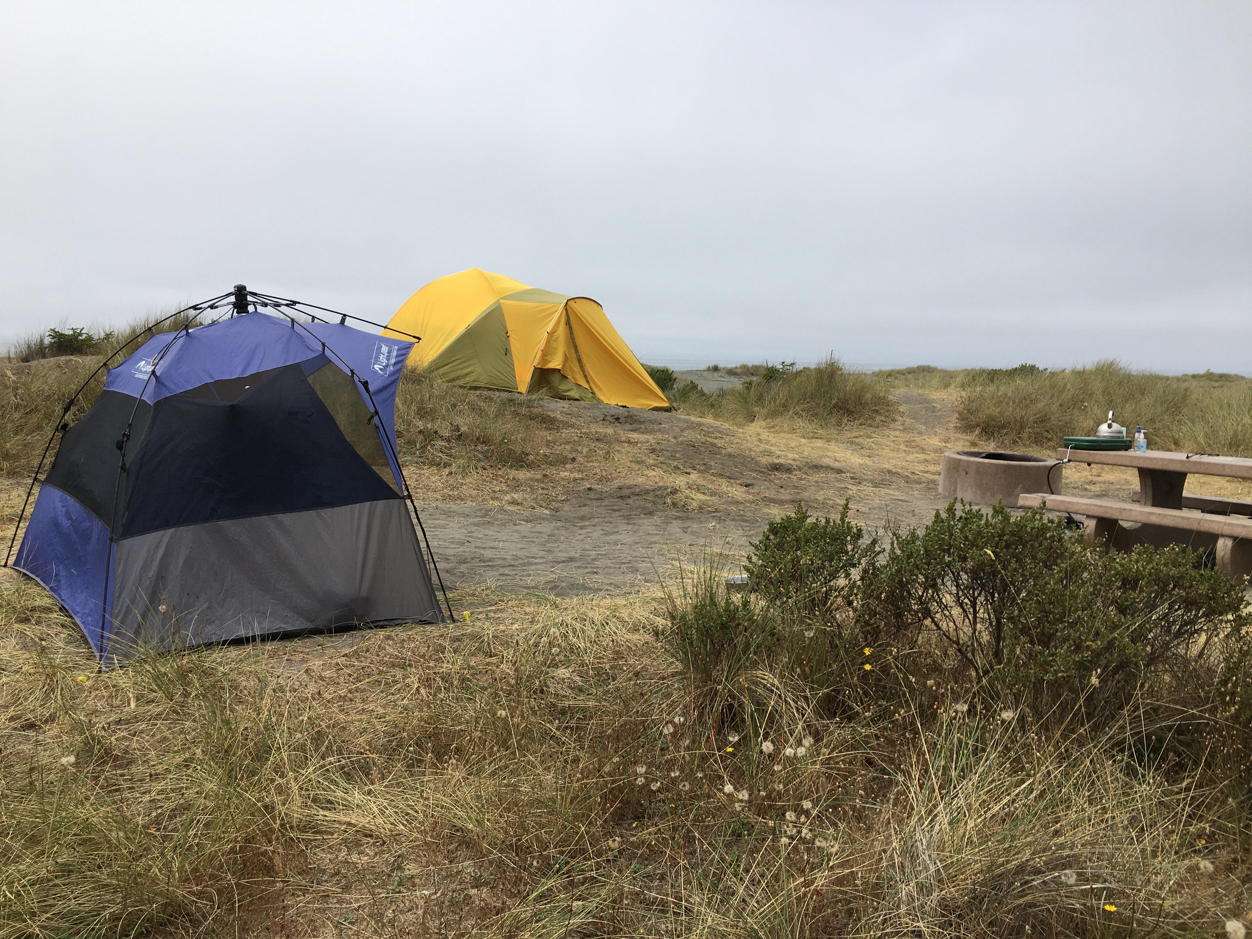
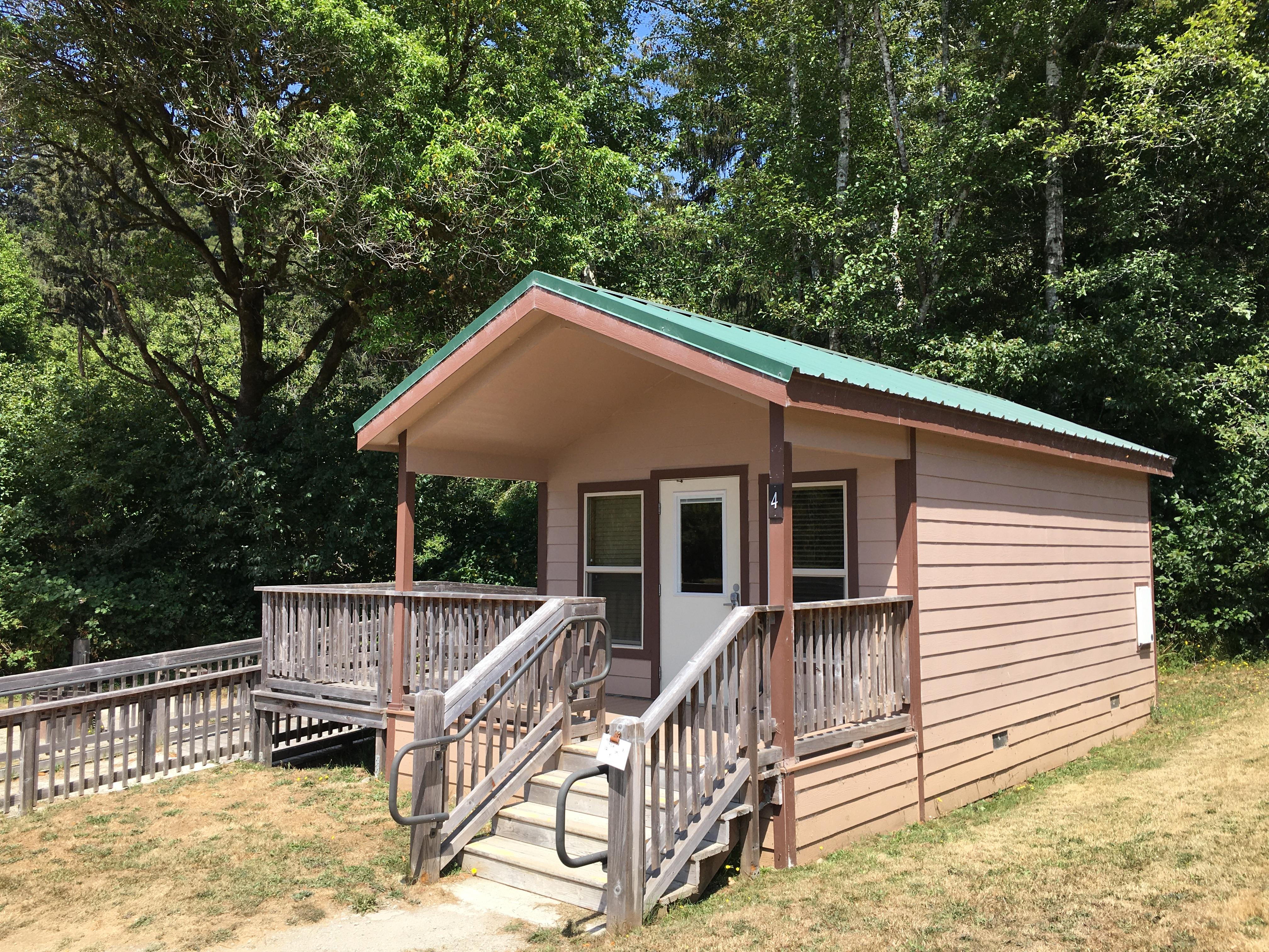
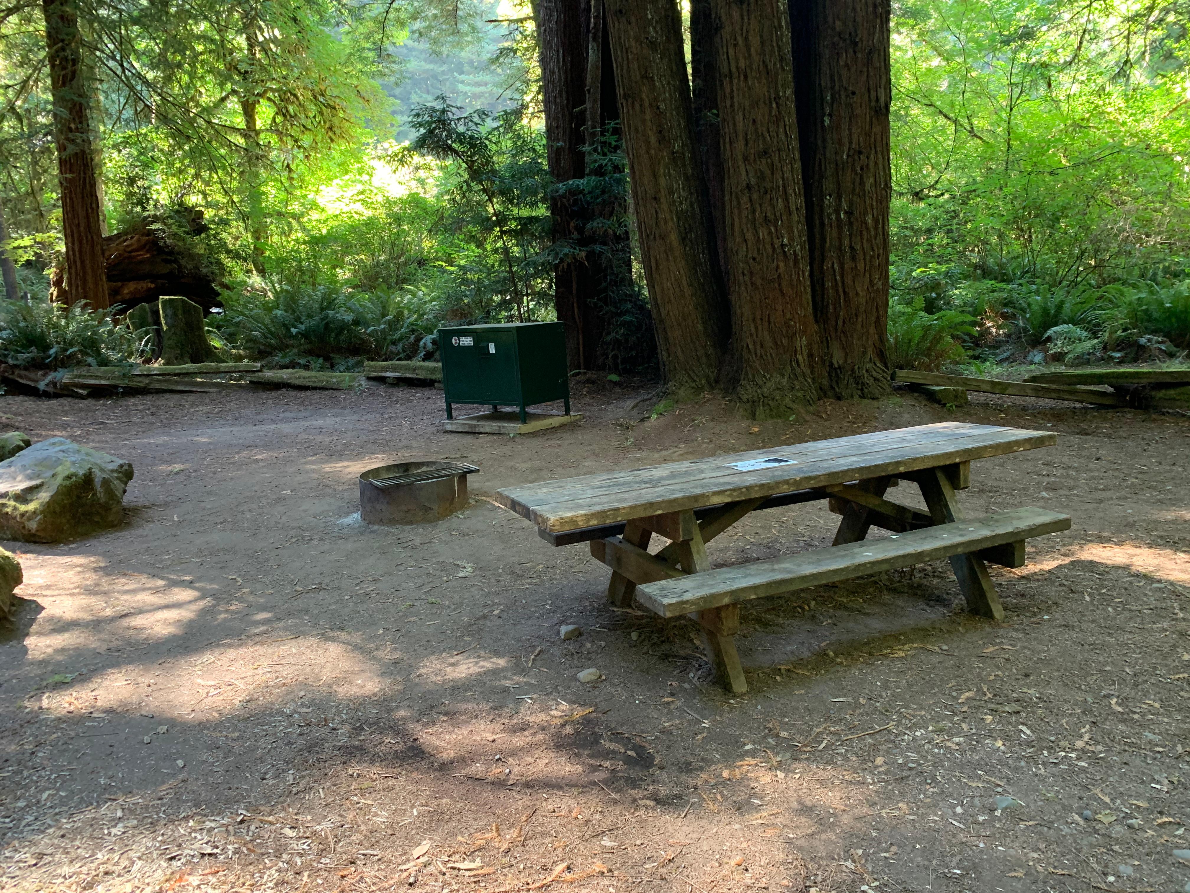
Source: RIDB · NPS · USFS EDW · BLM, unified by CAMPANAC · Sep 8, 2026
Heads up
Wildfire
MP18 fire · 24 mi from the nearest campground here · 7,601 acres · 98% contained
Wildfire
mill creek 2 fire · 25 mi from the nearest campground here
Information
DeMartin Trail and Campground As part of CalTrans work to develop a new highway route that is more stable and safer, they will be undertaking geotechnical drilling this fall and winter. Hikers and campers in the area will likely see and hear heavy equipment at work and…
Caution
Delays along Highway 101 There are multiple traffic stops along Highway 101 from Orick, CA to Crescent City, CA due to road construction. Extra time may be needed to travel throughout the park. Delay times may vary. Please stay alert and drive cautiously.
Information
44 Creek Bridge Failure 44 creek bridge is closed due to damage identified by a Federal Highway inspection team. This bridge is north of 44 Camp, approximately 7 miles south of the Redwood Creek trailhead and about 1 mile north of the Tall Trees river crossing.…
Alerts: National Park Service alerts API · Sep 8, 2026
Source: NIFC/IRWIN via MTJP wildfire tracker · Sep 8, 2026
Who answers for this land
Redwood National Park’s campgrounds sit in one congressional district. These members vote on the laws that decide what happens to this land.
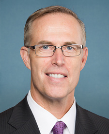
Jared Huffman (D)
SRC · RIDB · NPS · USFS EDW · BLM · unified by CAMPANAC · refreshed nightly