Coal Mine Campground & Picnic Area
- Right now
- Closed for the seasonOut of the season the agency publishes
- Season
- May 15 – October 15Open May 15 through October 15
The place
the agency’s own description
In the agency’s own words
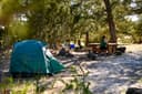
The campground is located in a setting of pinon, juniper, gambel oak, and mature ponderosa pine trees, approximately 10 miles northeast of Grants. A loop road winds through the area providing access to the campsites and the 0.25 mile nature trail. A historic bridge built by the Job Corps in 1967-1968 provides entrance to the trail. The 11,301 feet peak of Mount Taylor, the highest point in northwest New Mexico, can be seen if you drive past the campground on State Highway 547 (FR239). Remember to pay attention to road conditions and your vehicle's abilities before driving off of the main road.
Phone before you drive
recreation.gov publishes no availability for a campground you can’t reserve, so there’s no thirty-night reading to draw here. The season bar above is what the agency does publish.
Every line of the receipt · 5
What you actually pay
How we know this receipt · 4
record Aug 24, 2026 · How we know all this
Getting there
the map and the coordinate
Where it is
 Coal MineCibola National Forest · 0.0 miJoe Skeen CampgroundEl Malpais National Conservation Area · 21 miOjo Redondo CampgroundCibola National Forest · 24 mi
 El Morro CampgroundEl Morro National Monument · 38 miMcGaffey CampgroundCibola National Forest · 47 miQuaking Aspen CampgroundCibola National Forest · 49 mi
The weather
the next four days · the thirty-year normal
Next four days, and the thirty-year normal
Forecast
NWS forecast for Lobo Canyon, NM
Typical weather
Typical October night 32°F, day 73°F.
Coldest night of the open season: typical October night 32°F, below freezing. Bring a bag rated colder than that, and expect ice in the water bottle.
Daily high and lowDays with 0.10 in or moreOutside the published season
A normal is the 1991-2020 average for the month, not a forecast: about half of all Julys are colder than the July line. The seven-day forecast above answers the other question.
The land, and who answers for it
what threatens it · who answers for it
What threatens this place
You’re camping on ground somebody wants. We track the threats and the comment deadlines.
Who answers for this land
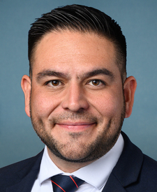
Coal Mine Campground & Picnic Area is in New Mexico’s 2nd congressional district. Its representative, Gabe Vasquez (D), votes on the laws that decide what happens to this land. Public-lands grade so far: A. See every public-lands vote →