National Park Service · Maryland
Assateague Island National Seashore
Here, one in two take walk-ups.
12Campgrounds
6Take walk-ups
$40–$80A night, across 5
273Sites
0–10 ftElevation
Where they are
12 of 12 mappedDrawing the map
© OpenFreeMap · OpenStreetMap · Esri hillshadeSource: RIDB · NPS · USFS EDW · BLM, unified by CAMPANAC · Oct 23, 2026
The campgrounds
12 campgrounds
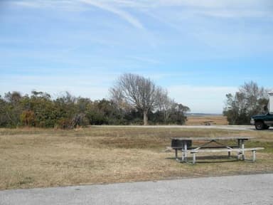 Bayside Drive-in CampgroundReservableOpenfrom $4022 sites0 ftdrinking watertoilets
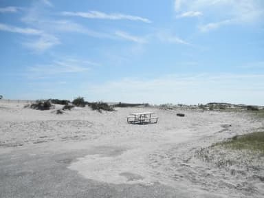 Oceanside Drive-in CampgroundReservableOpenfrom $4016 sites0 ftdrinking watertoilets
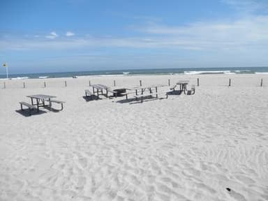 Oceanside Group CampgroundReservableOpen5 sites10 ftdrinking watertoilets
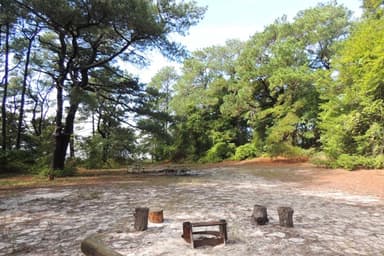 Back Country Camping - Green RunMixedOpen1 site0 fttoilets
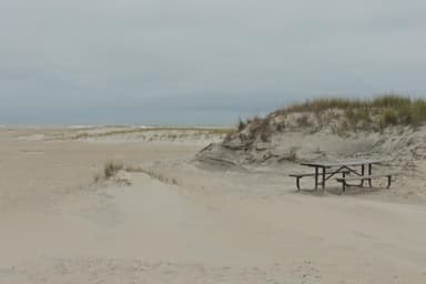 Back Country Camping - Little LevelsFirst-comeOpen1 site10 fttoilets
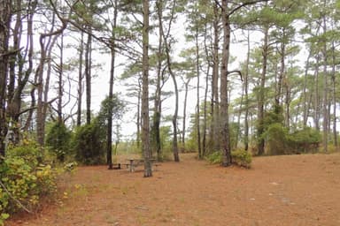 Back Country Camping - Pine TreeFirst-comeOpen1 site0 fttoilets
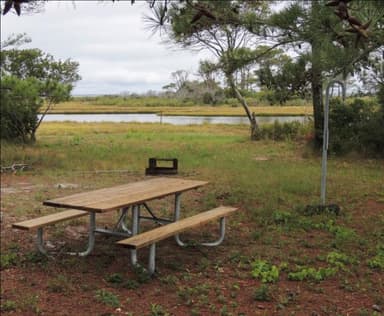 Back Country Camping - Pope BayMixedOpen1 site0 fttoilets
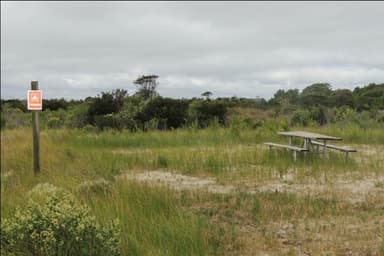 Back Country Camping - State LineFirst-comeOpen1 site10 fttoilets
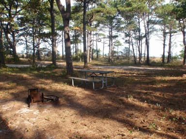 Back Country Camping - Tingles IslandFirst-comeOpen1 site0 fttoilets
 Assateague Island National Seashore CampgroundReservablefrom $4063 walk-in sites68 hike-in sites160 sitesrigs to 66 ft0 ftdrinking watertoilets
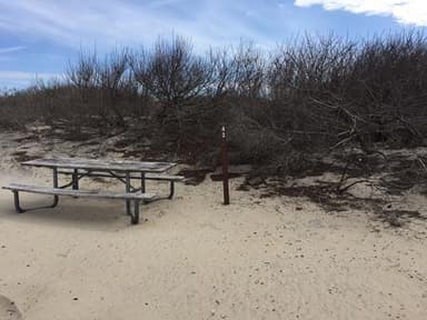 Oceanside Walk-in campgroundReservablefrom $4062 sites0 ftdrinking watertoilets
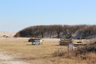 Horse campingReservablefrom $802 sites0 ftdrinking watertoilets
Source: RIDB · NPS · USFS EDW · BLM, unified by CAMPANAC · Oct 23, 2026
This land
measured from the nearest campground in the unitCamping here is a stake in what happens to it. More Than Just Parks tracks the threats and the comment windows.
Source: MTJP Threatened Lands map · Oct 3, 2026
Heads up
Information
OSV Status 10/18/26 MD OSV is CLOSED due to overwash. VA South OSV is closed. Beware of overwash conditions at high tides. The VA North OSV fishing mile is closed.
Source: National Park Service alerts API · Oct 23, 2026
Who answers for this land
Assateague Island National Seashore’s campgrounds sit in one congressional district. These members vote on the laws that decide what happens to this land.

Andy Harris (R)
Source: campground records from RIDB, NPS, USFS EDW and BLM, unified by CAMPANAC, refreshed nightly