National Park Service · Wilderness Area · Michigan
Beaver Basin Wilderness Area
11 federal campgrounds, all of them reservable or unlisted.
11Campgrounds
106Sites
610–700 ftElevation
Where they are
11 of 11 mappedDrawing the map
© OpenFreeMap · OpenStreetMap · Esri hillshadeSource: RIDB · NPS · USFS EDW · BLM, unified by CAMPANAC · Sep 8, 2026
The campgrounds · 11
11 campgrounds
 Reservable
Pictured Rocks National Lakeshore Backcountry Camping Permit
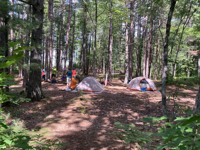 Reservable
Beaver Creek Individual Backpacking Sites
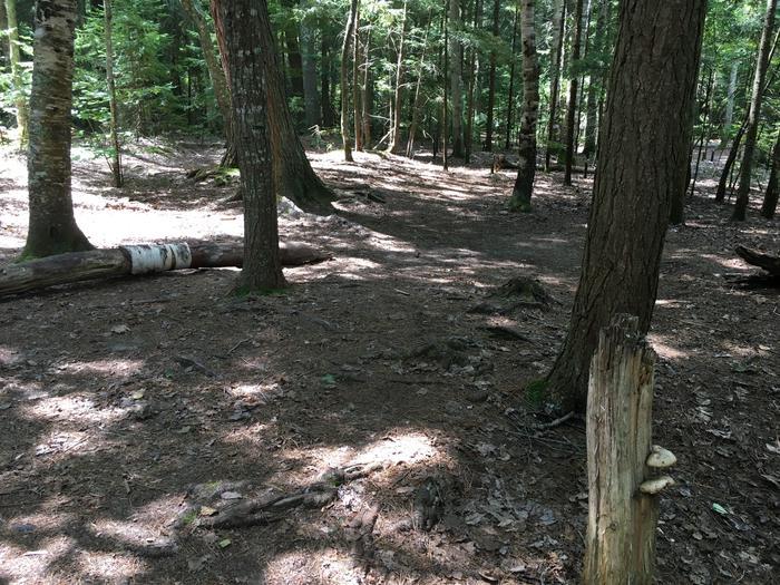 Reservable
Coves Individual Backpacking Sites
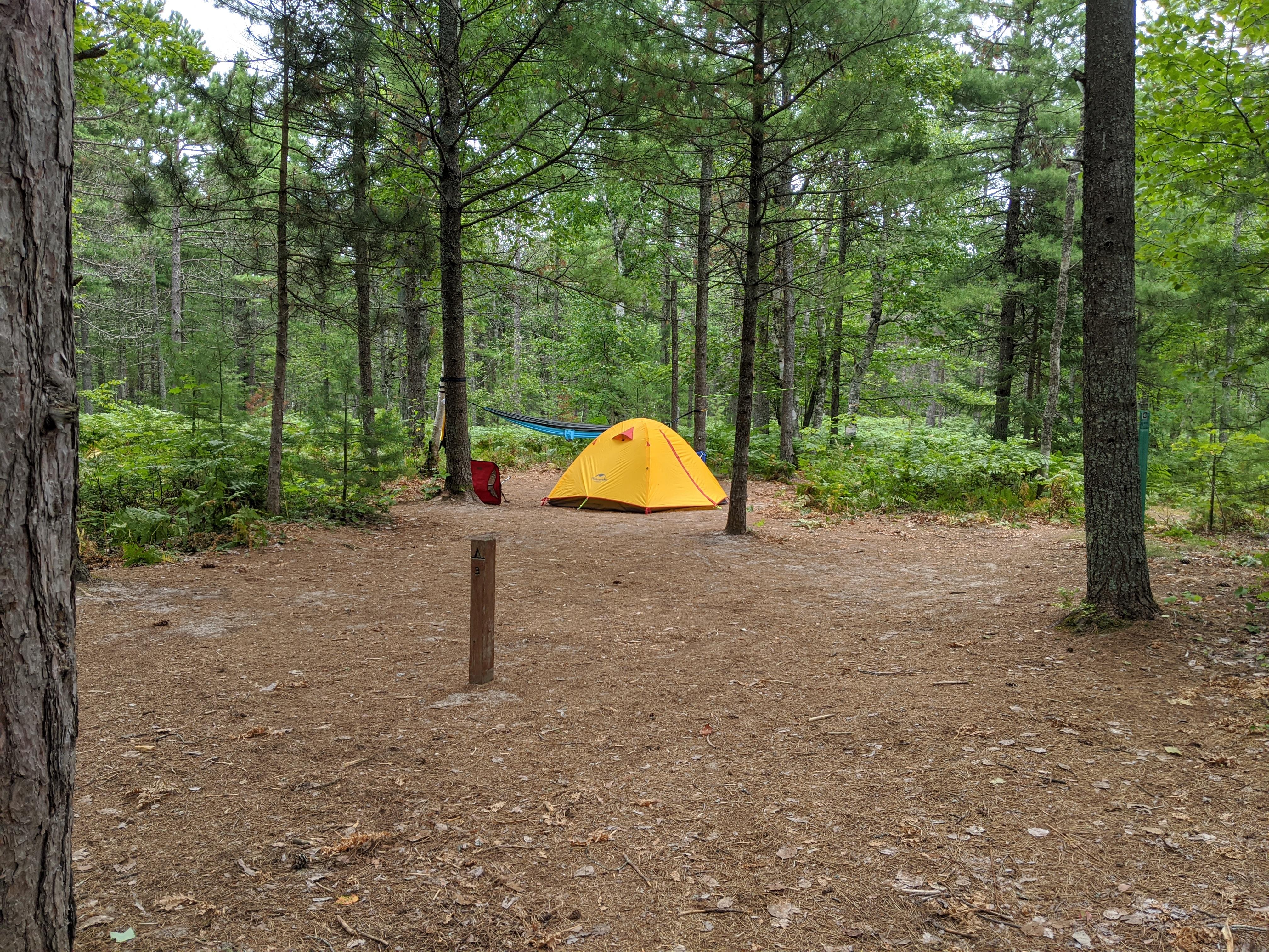 Reservable
Pine Bluff Individual Backpacking Sites
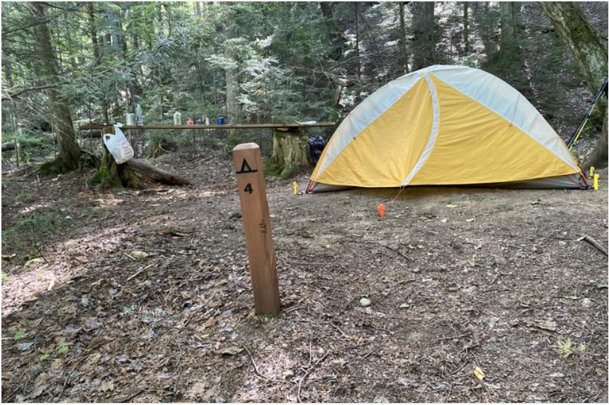 Reservable
Sevenmile Creek Individual Backpacking Sites
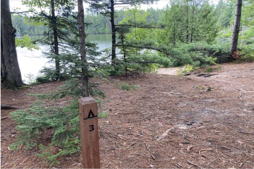 Reservable
Trappers Lake Individual Backpacking Sites
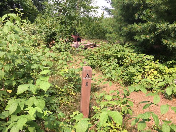 Reservable
Lowney Creek Individual Backpacking Sites
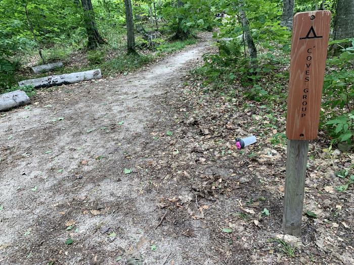 Reservable
Coves Group Backpacking Site
Source: RIDB · NPS · USFS EDW · BLM, unified by CAMPANAC · Sep 8, 2026
Heads up
Park Closure
Munising Falls Trail Closed Until Further Notice The Munising Falls Trail within Pictured Rocks National Lakeshore is closed until further notice. Approximately 75-feet of the paved trail was washed out April 28th from recent heavy rainfall and seasonal snow melt.
Source: National Park Service alerts API · Sep 8, 2026
Who answers for this land
Beaver Basin Wilderness Area’s campgrounds sit in one congressional district. These members vote on the laws that decide what happens to this land.

Jack Bergman (R)
SRC · RIDB · NPS · USFS EDW · BLM · unified by CAMPANAC · refreshed nightly