National Park Service · Maryland
Chesapeake and Ohio Canal National Historical Park
Here, 87% take walk-ups.
31Campgrounds
27Take walk-ups
$20A night at all 4 priced
79Sites, from 25
160–610 ftElevation
Where they are
31 of 31 mappedDrawing the map
© OpenFreeMap · OpenStreetMap · Esri hillshadeSource: RIDB · NPS · USFS EDW · BLM, unified by CAMPANAC · Oct 23, 2026
The campgrounds
31 campgrounds
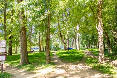 Swains Lock Hiker-Biker CampsiteFirst-comeOpen5 sites160 ftdrinking watertoilets
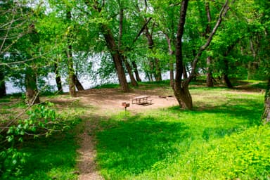 Bald Eagle Island Hiker-Biker CampsiteFirst-comeOpen1 site220 ftdrinking watertoilets
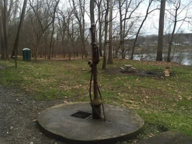 Cumberland Valley Hiker-Biker Overnight (HBO) CampsiteFirst-comeOpen1 site350 ftdrinking watertoilets
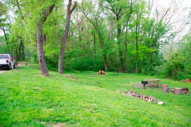 Evitts Creek Hiker-Biker CampsiteFirst-comeOpen1 site610 ftdrinking watertoilets
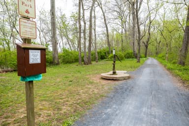 Horsepen Branch Hiker-Biker Overnight (HBO) CampsiteFirst-comeOpen1 site180 ftdrinking watertoilets
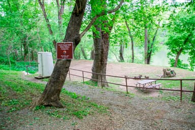 Horseshoe Bend Hiker-Biker CampsiteFirst-comeOpen1 site310 ftdrinking watertoilets
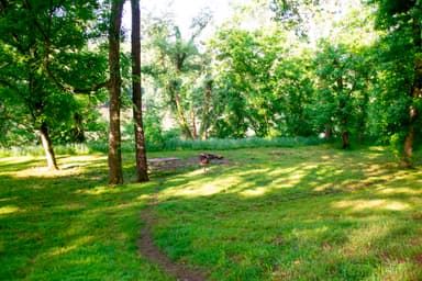 Indigo Neck Hiker Biker Overnight (HBO) CampsiteFirst-comeOpen1 site440 ftdrinking watertoilets
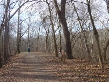 Killiansburg Cave Hiker-Biker CampsiteFirst-comeOpen1 site310 ftdrinking watertoilets
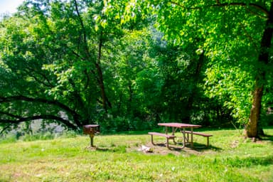 Leopards Mill Hiker-Biker Overnight (HBO) CampsiteFirst-comeOpen1 site420 ftdrinking watertoilets
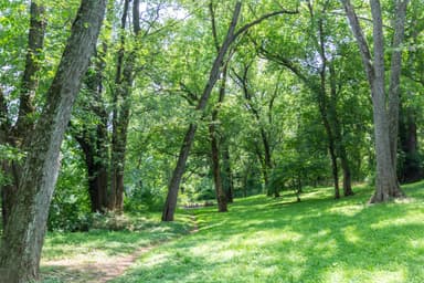 Sorrel Ridge Hiker-Biker Overnight (HBO) CampsiteFirst-comeOpen1 site460 ftdrinking watertoilets
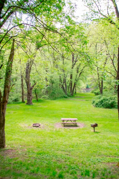 Town Creek Hiker-Biker Overnight (HBO) CampsiteFirst-comeOpen1 site530 ftdrinking watertoilets
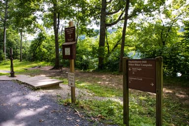 Huckleberry Hill Hiker-Biker CampsiteFirst-comeOpen280 ftdrinking watertoilets
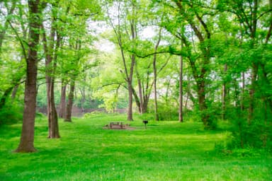 Irons Mountain Hiker-Biker CampsiteFirst-comeOpen570 ftdrinking watertoilets
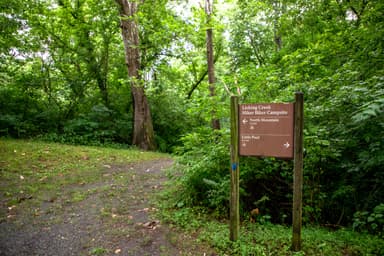 Licking Creek Hiker-Biker CampsiteFirst-comeOpen390 ftdrinking watertoilets
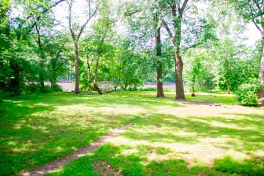 Little Pool Hiker-Biker CampsiteFirst-comeOpen400 ftdrinking watertoilets
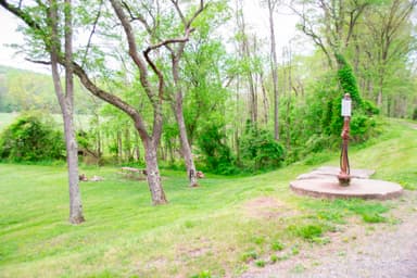 Pigmans Ferry Hiker-Biker CampsiteFirst-comeOpen560 ftdrinking watertoilets
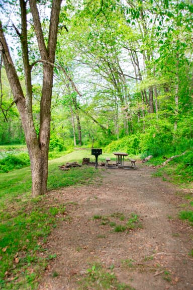 Potomac Forks Hiker-Biker CampsiteFirst-comeOpen580 ftdrinking watertoilets
 Antietam Creek CampsiteReservablefrom $2020 hike-in sites20 sites300 ftdrinking watertoilets
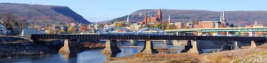 Spring Gap CampgroundReservablefrom $201 group site14 sitesrigs to 20 ft560 ftdrinking watertoilets
 Fifteen Mile Creek CampsiteReservablefrom $2010 hike-in sites1 group site10 sites430 ftdrinking watertoilets
 Paw Paw Tunnel CampsiteReservablefrom $2010 hike-in sites10 sites530 ftdrinking watertoiletsBig Woods Hiker-Biker Overnight (HBO) CampsiteFirst-comeOpen1 site320 ftdrinking watertoiletsDevils Alley Hiker-Biker CampsiteFirst-comeOpen1 site450 ftdrinking watertoiletsJordan Junction Hiker-Biker CampsiteFirst-comeOpen1 site350 ftdrinking watertoilets
Source: RIDB · NPS · USFS EDW · BLM, unified by CAMPANAC · Oct 23, 2026
Heads up
Park Closure
Closures: Detours; Towpath; Points of Interest Multiple items are closed due to hazardous conditions or maintenance. See below for more details.
Caution
DC Water Sewer Overflow DC Water is managing a sanitary sewer overflow from the Potomac Interceptor near Lock 10. Anyone with questions or in need of support can reach out to DC Water’s 24-Hour Command Center at (202) 612-3400 or visit…
Information
Equestrian Traffic Temporarily Prohibited - Mile 124.5 to 155 Horses are prohibited between Little Tonoloway (mile 124.5) and Paw Paw (mile 155) due to recent and ongoing towpath resurfacing. See more for details.
Caution
Hiking in Gold Mine Tract Visitors are restricted to the designated trails within the Gold Mine Tract in the Great Falls area. This location is generally defined as that area bordered by MacArthur Boulevard and Berma Road and depicted on the Great Falls Maryland…
Source: National Park Service alerts API · Oct 24, 2026
Who answers for this land
Chesapeake and Ohio Canal National Historical Park’s campgrounds sit in 2 congressional districts. These members vote on the laws that decide what happens to this land.

April McClain Delaney (D)

Jamie Raskin (D)
Source: campground records from RIDB, NPS, USFS EDW and BLM, unified by CAMPANAC, refreshed nightly