National Park Service · National Recreation Area · New Jersey and Pennsylvania
Delaware Water Gap National Recreation Area
Here, 29% take walk-ups.
7Campgrounds
2Take walk-ups
$16A night at all 2 priced
298Sites
340–1,190 ftElevation
2States
Where they are
7 of 7 mappedDrawing the map
© OpenFreeMap · OpenStreetMap · Esri hillshadeSource: RIDB · NPS · USFS EDW · BLM, unified by CAMPANAC · Oct 23, 2026
The campgrounds
7 campgrounds
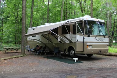 Dingmans CampgroundMixed136 sites420 ftdrinking watertoilets
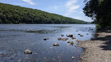 Middle Delaware National Scenic & Recreational River Primitive CampsitesReservablefrom $1668 boat-in sites68 sites800 fttoilets
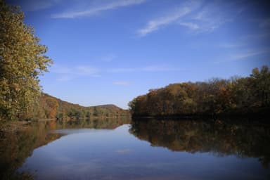 River CampingReservable62 sites570 fttoilets
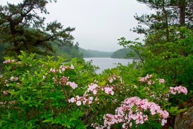 Mohican Outdoor CenterMixed16 sites1,190 ftdrinking watertoilets
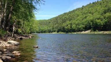 Alosa CampsitesReservablefrom $166 boat-in sites6 sites340 fttoilets
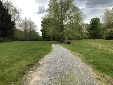 Rivers Bend Group CampgroundReservableSites from $1005 with a bear box5 pull-through sites5 sites400 ftdrinking watertoilets
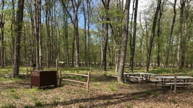 Valley View Group CampgroundReservableSites from $1005 with a bear box5 pull-through sites5 sites350 fttoilets
Source: RIDB · NPS · USFS EDW · BLM, unified by CAMPANAC · Oct 23, 2026
Heads up
Park Closure
Dingmans Falls Trail, Road, and Access Closed for Bridge Replacement Dingmans Falls site is closed for a bridge replacement project and trail rehabilitation. All traffic, including pedestrian, cyclist, and vehicle traffic, is prohibited on the road and trail during construction.
Information
Main Street Walpack Bridge Closed Until Further Notice Main Street in Walpack Center is closed at the Flatbrook Bridge due to structural damage to the bridge.
Park Closure
Old Mine Road North Construction Closure Begins April 6, 2026 Old Mine Road between Jager Road and Route 206 will close to all traffic beginning on April 6, 2026. Contractors will work to rehabilitate a 3.5-mile stretch of road. The construction area will be closed to all traffic for the safety of…
Source: National Park Service alerts API · Oct 23, 2026
Who answers for this land
Delaware Water Gap National Recreation Area’s campgrounds sit in 2 congressional districts. These members vote on the laws that decide what happens to this land.

Rob Bresnahan (R)

Thomas Kean (R)
Source: campground records from RIDB, NPS, USFS EDW and BLM, unified by CAMPANAC, refreshed nightly