Bureau of Land Management · Wild and Scenic River · Oregon
Deschutes River Segment E
15 campgrounds here, 2 of them walk-up.
15Campgrounds
2Take walk-ups
$8–$12A night, across 2
480–1,370 ftElevation
Where they are
15 of 15 mappedDrawing the map
© OpenFreeMap · OpenStreetMap · Esri hillshadeSource: RIDB · NPS · USFS EDW · BLM, unified by CAMPANAC · Sep 9, 2026
The campgrounds · 15
15 campgrounds
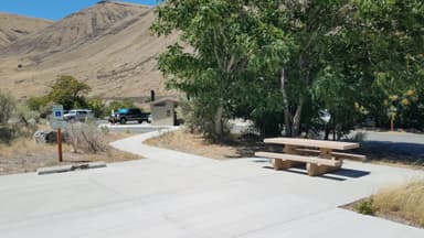
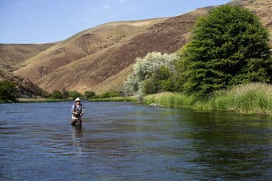
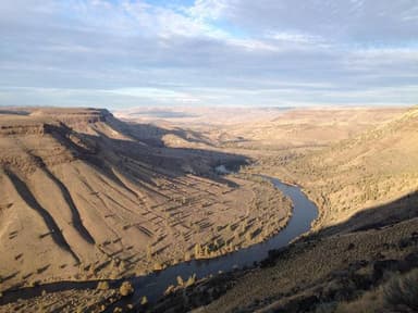
Seen from the air The agency never photographed these, so here’s the satellite view.
Beavertail Campground560 ftBlue Hole Campground800 ftDevil's Canyon Campground930 ftHarpham Flat Campground910 ftJones Canyon Campground590 ftLong Bend Campground930 ftOasis Campground830 ftRattlesnake Canyon Campground540 ftSouth Junction Campground1,290 ftTwin Springs Campground630 ftWapinitia Campground900 ftWhite River Campground770 ft
Source: RIDB · NPS · USFS EDW · BLM, unified by CAMPANAC · Sep 9, 2026
This land
measured from the nearest campground in the unitdeveloping
Camping here is a stake in what happens to it. More Than Just Parks tracks the threats and the comment windows.
Source: MTJP Threatened Lands map · Aug 12, 2026
Heads up
Wildfire
Beachcomb fire · 11 mi from the nearest campground here · 13,648 acres · 100% contained
Wildfire
0485 Deep Canyon fire · 11 mi from the nearest campground here · 9,170 acres · 100% contained
Wildfire
0658 Round Butte fire · 12 mi from the nearest campground here · 1,163 acres · 98% contained
Wildfire
Bench fire · 12 mi from the nearest campground here · 4,000 acres · 90% contained
Wildfire
0432 fire · 18 mi from the nearest campground here · 2,183 acres · 100% contained
Wildfire
0433 Brewer fire · 18 mi from the nearest campground here · 70,821 acres · 100% contained
Source: NIFC/IRWIN via MTJP wildfire tracker · Sep 8, 2026
Who answers for this land
Deschutes River Segment E’s campgrounds sit in one congressional district. These members vote on the laws that decide what happens to this land.
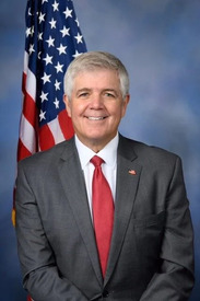
Cliff Bentz (R)
Source: campground records from RIDB, NPS, USFS EDW and BLM, unified by CAMPANAC, refreshed nightly