U.S. Forest Service · Alaska
Kenai Mountains-Turnagain Arm National Heritage Area
15 federal campgrounds, 2 of them with first-come, first-served sites.
15Campgrounds
2With first-come sites
359Sites, from 13
60–1,350 ftElevation
Where they are
15 of 15 mappedDrawing the map
© OpenFreeMap · OpenStreetMap · Esri hillshadeSource: RIDB · NPS · USFS EDW · BLM, unified by CAMPANAC · Sep 8, 2026
The campgrounds · 15
15 campgrounds
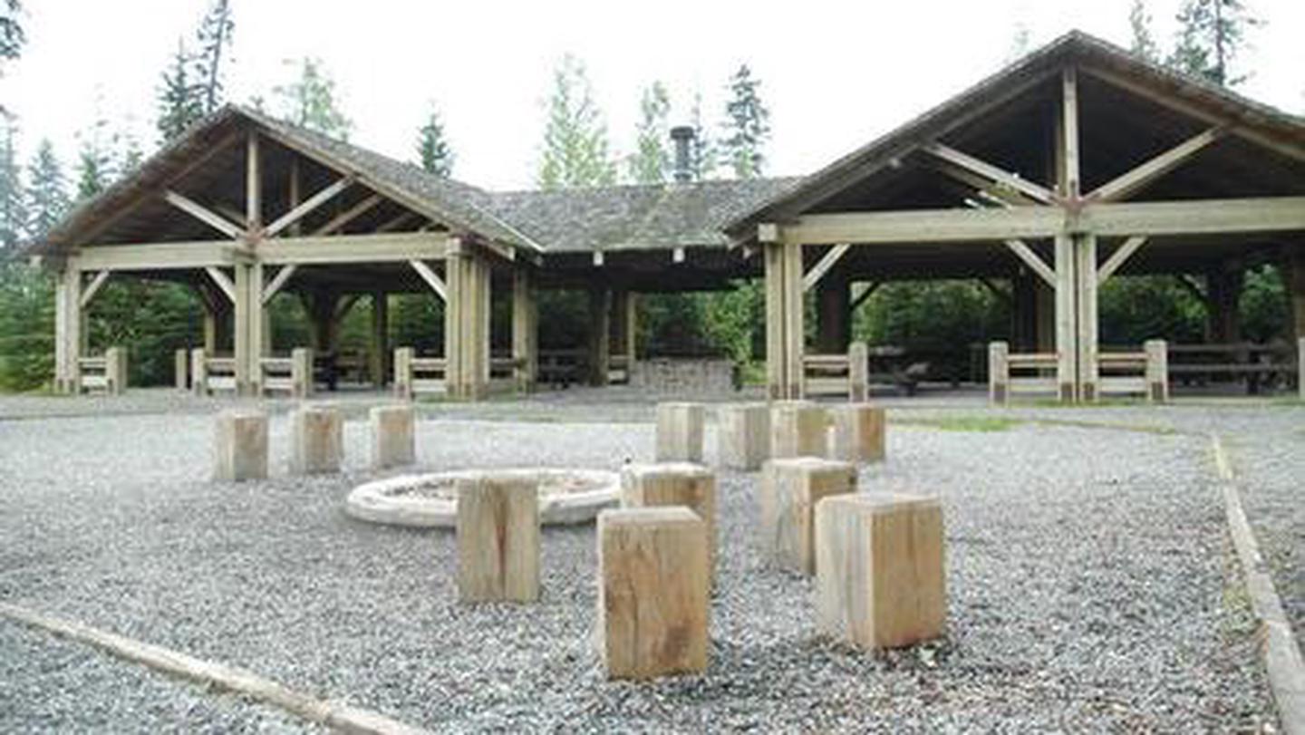 Reservable
Trail River
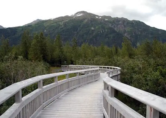 Reservable
Williwaw Campground
 Reservable
Tenderfoot Creek
 Reservable
Granite Creek
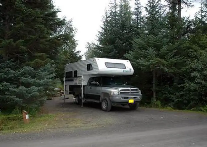 Reservable
Ptarmigan Creek
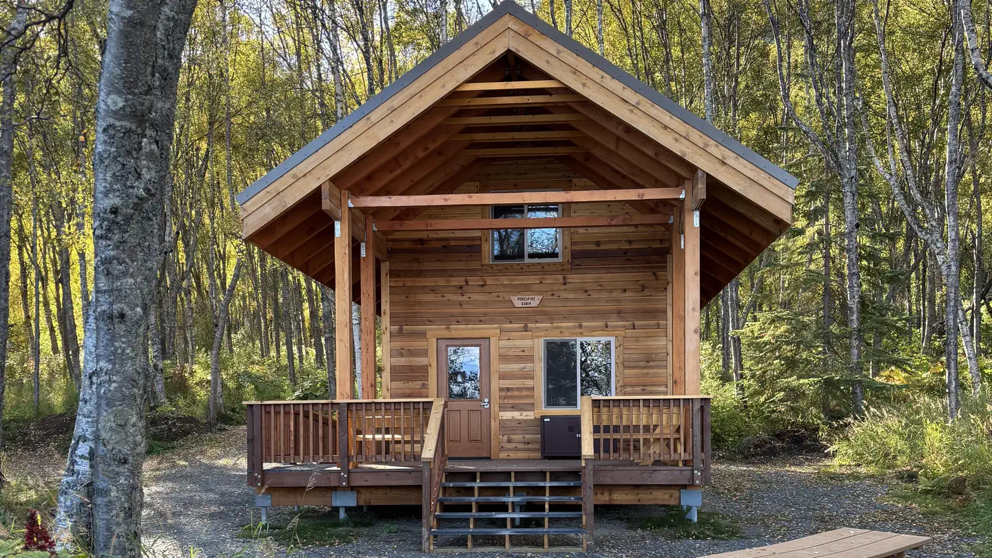 Reservable
Porcupine Cabin
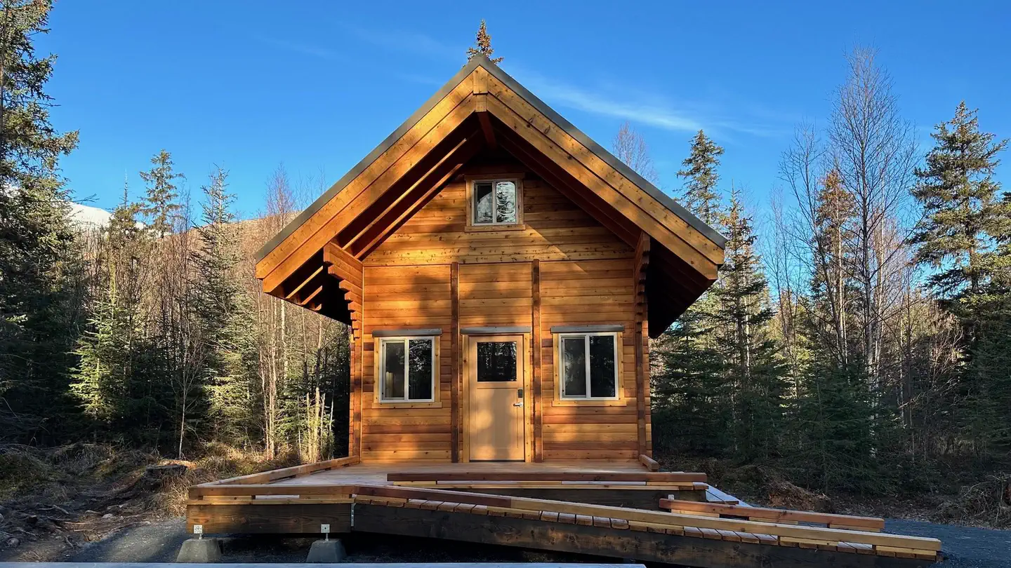 Reservable
Trail River Cabin
Seen from the air The agency never photographed these, so here is the satellite view. Same data, same sources.
Quartz Creek Campground45 sites · rigs to 120 ft · 450 ft · drinking waterReservablePorcupine (AK)34 sites · rigs to 46 ft · 120 ft · drinking waterReservableCooper Creek South30 sites · rigs to 99 ft · 430 ft · drinking waterReservableBertha Creek Campground12 sites · 770 ft · drinking waterReservableBlack Bear Campground12 sites · 60 ftReservablePrimrose Campground8 sites · 440 ftReservableCoeur d'Alene Campground1,350 ftFirst-comeCrescent Creek Campground540 ftFirst-come
Source: RIDB · NPS · USFS EDW · BLM, unified by CAMPANAC · Sep 8, 2026
This land
measured from the nearest campground in the unitRoadless
Roadless
Roadless
Roadless
Roadless
Roadless
Camping here is a stake in what happens to it. More Than Just Parks tracks the threats and the comment windows.
Source: USFS Inventoried Roadless Areas via MTJP Roadless Map · Jul 29, 2026
Who answers for this land
Kenai Mountains-Turnagain Arm National Heritage Area’s campgrounds sit in one congressional district. These members vote on the laws that decide what happens to this land.

Nick Begich (R)
SRC · RIDB · NPS · USFS EDW · BLM · unified by CAMPANAC · refreshed nightly