U.S. Forest Service · National Forest · West Virginia
Monongahela National Forest
Here, 26% take walk-ups.
34Campgrounds
9Take walk-ups
$8–$33A night, across 17
421Sites, from 17
1,720–4,330 ftElevation
Where they are
34 of 34 mappedDrawing the map
© OpenFreeMap · OpenStreetMap · Esri hillshadeSource: RIDB · NPS · USFS EDW · BLM, unified by CAMPANAC · Oct 24, 2026
The campgrounds
34 campgrounds
 Lake SherwoodReservablefrom $201 group site151 sitesrigs to 55 ft2,710 ftdrinking watertoilets
 Bishop KnobReservablefrom $854 sites4,080 ft
 Summit Lake CampgroundReservablefrom $152 pull-through sites33 sites4,080 ftdrinking watertoilets
 Williams River CampsitesReservablefrom $102 pull-through sites29 sites4,080 ft
 Cranberry CampgroundReservablefrom $152 walk-in sites2 hike-in sites28 sites4,080 ftdrinking watertoilets
 Stuart Recreation AreaReservablefrom $331 group site28 sitesrigs to 99 ft2,280 fthookupsdrinking watertoilets
 Tea Creek CampgroundReservablefrom $1528 sites4,080 ftdrinking watertoilets
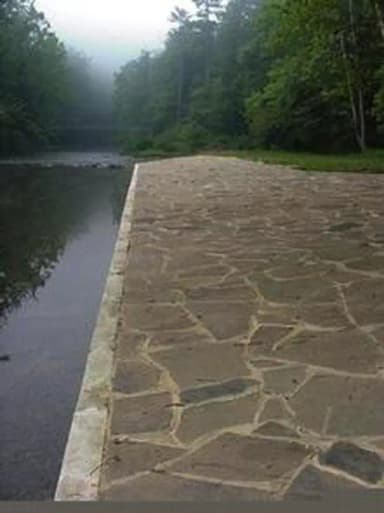 Blue Bend Rec AreaReservablefrom $2021 sitesrigs to 60 ft1,910 fthookupsdrinking watertoilets
 Cranberry River CampsitesReservablefrom $101 hike-in site1 pull-through site14 sites4,080 fttoilets
 Day Run CampgroundReservablefrom $1512 sites4,080 ftdrinking watertoilets
 Pocahontas CampgroundReservablefrom $81 pull-through site8 sites4,080 fttoilets
 Horseshoe Recreation AreaReservableSeasonalfrom $226 sitesrigs to 35 ft1,720 fthookupsdrinking watertoilets
 Big RockReservablefrom $105 sites4,080 ftdrinking watertoilets
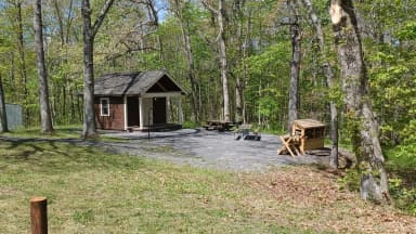 Hopkins Mountain Fireman's CabinReservableSites from $751 site3,310 fttoilets
 Middle Mountain CabinsReservableSites from $1001 site3,140 fttoilets
 Red Oak Fire LookoutReservableSites from $1001 site4,080 fthookupstoilets
 Highland Scenic Highway3,540 ft
 Lake Sherwood Recreation Area and Campgroundfrom $162,700 ftBig Rock CampgroundFirst-comeOpen2,150 ftLaurel Fork CampgroundFirst-comeOpen3,100 ftPocahontas CampgroundFirst-comeOpen2,490 ftRed Creek CampgroundFirst-comeOpen3,880 ftTea Creek CampgroundFirst-comeOpen3,000 ftGatewood GroupReservableSites from $601 group site1 siterigs to 30 ft4,330 fttoilets
Source: RIDB · NPS · USFS EDW · BLM, unified by CAMPANAC · Oct 24, 2026
This land
measured from the nearest campground in the unitRoadless
Roadless
Roadless
Roadless
Roadless
Roadless
Camping here is a stake in what happens to it. More Than Just Parks tracks the threats and the comment windows.
Source: USFS Inventoried Roadless Areas via MTJP Roadless Map · Jul 29, 2026
Who answers for this land
Monongahela National Forest’s campgrounds sit in 2 congressional districts. These members vote on the laws that decide what happens to this land.

Riley Moore (R)
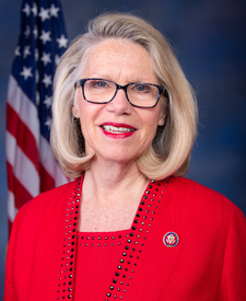
Carol Miller (R)
Source: campground records from RIDB, NPS, USFS EDW and BLM, unified by CAMPANAC, refreshed nightly