U.S. Forest Service · National Recreation Area · Oregon
Oregon Dunes National Recreation Area
Here, none of the campgrounds take walk-ups.
13Campgrounds
$10–$25A night, across 13
427Sites
20–70 ftElevation
Where they are
13 of 13 mappedDrawing the map
© OpenFreeMap · OpenStreetMap · Esri hillshadeSource: RIDB · NPS · USFS EDW · BLM, unified by CAMPANAC · Oct 23, 2026
The campgrounds
13 campgrounds
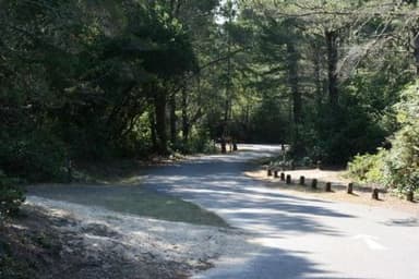 Eel Creek CampgroundReservableOpenfrom $2210 pull-through sites52 sitesrigs to 54 ft70 ftdrinking watertoilets
 Lagoon CampgroundReservableOpenfrom $2212 pull-through sites41 sitesrigs to 85 ft20 ftdrinking watertoilets
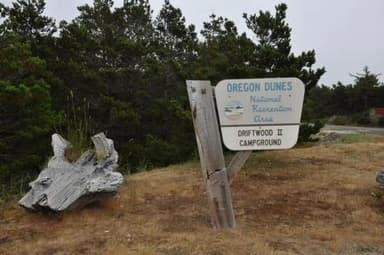 DriftwoodReservablefrom $259 pull-through sites67 sitesrigs to 61 ft30 ftdrinking watertoilets
 Waxmyrtle CampgroundReservableSeasonalfrom $2218 pull-through sites57 sitesrigs to 85 ft30 ftdrinking watertoilets
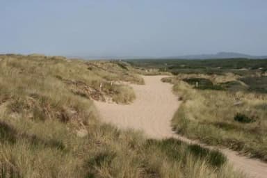 Horsfall BeachReservablefrom $2511 pull-through sites34 sitesrigs to 61 ft20 ftdrinking watertoilets
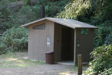 Tahkenitch CampgroundReservableSeasonalfrom $222 pull-through sites30 sitesrigs to 50 ft40 ftdrinking watertoilets
 Tahkenitch LandingReservablefrom $2228 sitesrigs to 40 ft60 fttoilets
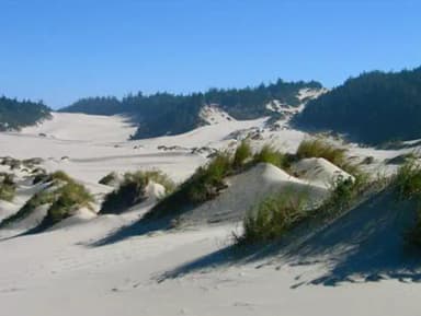 Umpqua Sand CampingReservablefrom $102 group sites27 sitesrigs to 100 ft20 fttoilets
 Hauser Sand CampingReservablefrom $102 group sites25 sitesrigs to 100 ft30 fttoilets
 Carter LakeReservableSeasonalfrom $224 pull-through sites21 sitesrigs to 30 ft60 ftdrinking watertoilets
 Siltcoos Sand CampingReservablefrom $101 group site16 sitesrigs to 100 ft20 fttoilets
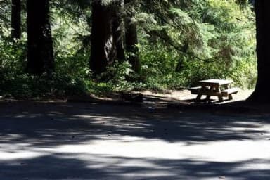 Tyee Campground - Oregon DunesReservableSeasonalfrom $222 pull-through sites15 sitesrigs to 20 ft20 fttoilets
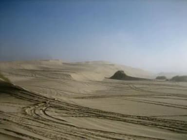 South Jetty Sand CampingReservablefrom $101 group site14 sitesrigs to 100 ft40 fttoilets
Source: RIDB · NPS · USFS EDW · BLM, unified by CAMPANAC · Oct 23, 2026
This land
measured from the nearest campground in the unitRoadless
Roadless
Roadless
Roadless
Camping here is a stake in what happens to it. More Than Just Parks tracks the threats and the comment windows.
Roadless areas: USFS Inventoried Roadless Areas via MTJP Roadless Map · Jul 29, 2026
Source: MTJP Threatened Lands map · Oct 3, 2026
Who answers for this land
Oregon Dunes National Recreation Area’s campgrounds sit in one congressional district. These members vote on the laws that decide what happens to this land.

Val Hoyle (D)
Source: campground records from RIDB, NPS, USFS EDW and BLM, unified by CAMPANAC, refreshed nightly