U.S. Forest Service · National Forest · Florida
Osceola National Forest
Here, one in three take walk-ups.
6Campgrounds
2Take walk-ups
$12A night at the one priced
68Sites, from 2
130–160 ftElevation
Where they are
6 of 6 mappedDrawing the map
© OpenFreeMap · OpenStreetMap · Esri hillshadeSource: RIDB · NPS · USFS EDW · BLM, unified by CAMPANAC · Oct 23, 2026
The campgrounds
6 campgrounds
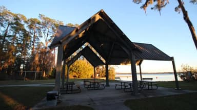 Ocean Pond CampgroundReservablefrom $1220 with a tent pad67 sitesrigs to 60 ft160 fthookupsdrinking watertoilets
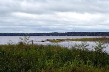 Group LandingReservableSites from $1001 pull-through site1 group site1 siterigs to 40 ft160 fthookupsdrinking watertoiletsBig Camp Hunt Camp140 ftCobb Hunt Camp160 ftEast Tower Hunt CampFirst-come130 ftOcean Pond CampgroundFirst-come160 fttoilets
Source: RIDB · NPS · USFS EDW · BLM, unified by CAMPANAC · Oct 23, 2026
This land
measured from the nearest campground in the unitCamping here is a stake in what happens to it. More Than Just Parks tracks the threats and the comment windows.
Source: USFS Inventoried Roadless Areas via MTJP Roadless Map · Jul 29, 2026
Heads up
Wildfire
Bee Haven (2) (24-06) fire · 27 mi from the nearest campground here · 2,060 acres · 80% contained
Source: NIFC/IRWIN via MTJP wildfire tracker · Oct 23, 2026
Who answers for this land
Osceola National Forest’s campgrounds sit in one congressional district. These members vote on the laws that decide what happens to this land.

Kat Cammack (R)
Source: campground records from RIDB, NPS, USFS EDW and BLM, unified by CAMPANAC, refreshed nightly