U.S. Forest Service · National Forest · Arkansas and Oklahoma
Ouachita National Forest
Here, 30% take walk-ups.
10Campgrounds
3Take walk-ups
3Free to camp
$15–$25A night, across 4
57Sites, from 2
600–1,280 ftElevation
2States
Where they are
10 of 10 mappedDrawing the map
© OpenFreeMap · OpenStreetMap · Esri hillshadeSource: RIDB · NPS · USFS EDW · BLM, unified by CAMPANAC · Oct 23, 2026
The campgrounds
10 campgrounds
 Charlton Recreation AreaReservablefrom $152 group sites48 sitesrigs to 80 ft650 fthookupsdrinking watertoilets
 Little Pines CampgroundReservablefrom $205 with a tent pad9 sitesrigs to 65 ft800 fthookupsdrinking watertoilets
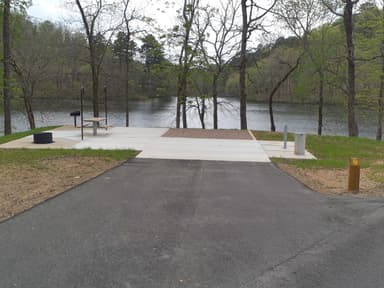 Shady LakeFirst-comefrom $201,120 fttoiletsBard Springs Recreation Area1,280 ftBilly Creek Recreation AreaFirst-comeFree870 ftCamp Clearfork730 ftFourche Mountain Recreation AreaFirst-comeFree900 ftJack Creek Recreation AreaFree600 ftLake Sylvia Recreation Area640 ftLittle Pines Recreation Areafrom $25810 ft
Source: RIDB · NPS · USFS EDW · BLM, unified by CAMPANAC · Oct 23, 2026
This land
measured from the nearest campground in the unitRoadless
Roadless
Camping here is a stake in what happens to it. More Than Just Parks tracks the threats and the comment windows.
Source: USFS Inventoried Roadless Areas via MTJP Roadless Map · Jul 29, 2026
Heads up
Wildfire
Sebastian 235 fire · 13 mi from the nearest campground here · 1 acres
Source: NIFC/IRWIN via MTJP wildfire tracker · Oct 24, 2026
Who answers for this land
Ouachita National Forest’s campgrounds sit in 3 congressional districts. These members vote on the laws that decide what happens to this land.
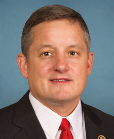
Bruce Westerman (R)
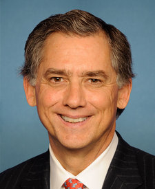
J. French Hill (R)
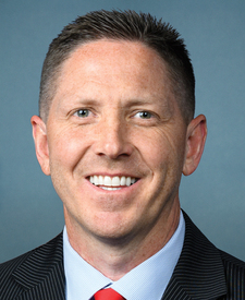
Josh Brecheen (R)
Source: campground records from RIDB, NPS, USFS EDW and BLM, unified by CAMPANAC, refreshed nightly