U.S. Forest Service · National Forest · Arkansas
Ozark National Forest
Here, one in three take walk-ups.
23Campgrounds
8Take walk-ups
$5–$15A night, across 4
149Sites, from 14
380–1,850 ftElevation
Where they are
23 of 23 mappedDrawing the map
© OpenFreeMap · OpenStreetMap · Esri hillshadeSource: RIDB · NPS · USFS EDW · BLM, unified by CAMPANAC · Oct 23, 2026
The campgrounds
23 campgrounds
 Cove Lake Recreation AreaReservableOpenfrom $1536 with a tent pad36 sitesrigs to 68 ft1,000 ftdrinking watertoilets
 Long Pool Recreation AreaReservableOpen4 sites540 ft
 Richland Creek CampgroundReservableOpen4 sites1,040 ft
 Shores Lake Recreation AreaReservable27 sites650 ft
 Lake WedingtonReservable18 with a tent pad1 group site25 sitesrigs to 30 ft1,150 fthookupsdrinking water
 Blanchard Springs Recreation AreaReservablefrom $1519 with a tent pad3 pull-through sites21 sitesrigs to 25 ft630 fthookupsdrinking watertoilets
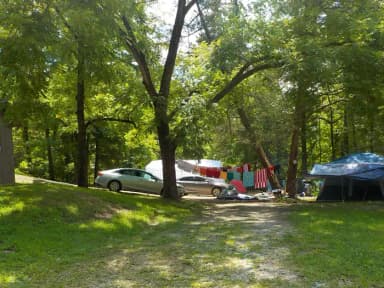 Barkshed CampgroundReservable4 sites570 ft
 Gunner Pool CampgroundReservable4 sites500 ft
 Horsehead Lake Recreation AreaReservable4 sites700 ft
 Ozone CampgroundReservable4 sites1,850 ft
 Redding CampgroundReservable4 sites750 ft
 Sorghum HollowReservable4 sites640 ft
 Spring Lake Recreation AreaReservable4 sites520 ft
 Wolf Pen CampgroundReservable4 sites920 ftBarkshed Recreation AreaFirst-comeOpenfrom $5560 ftBrock Creek Lake Recreation AreaFirst-comeOpen870 ftGunner Pool Recreation AreaFirst-comeOpen500 ftdrinking waterOzone Recreation AreaFirst-comeOpen1,850 ftRedding Recreation AreaFirst-comeOpen750 ftdrinking watertoiletsBayou Bluff Point of InterestFirst-come630 fttoiletsBlanchard Springs CampgroundsFirst-come380 ftdrinking waterHaw Creek Falls Point of Interest790 ftWolf Pen Recreation AreaFirst-comefrom $10920 fttoilets
Source: RIDB · NPS · USFS EDW · BLM, unified by CAMPANAC · Oct 23, 2026
This land
measured from the nearest campground in the unitRoadless
Roadless
Roadless
Roadless
Roadless
Roadless
Camping here is a stake in what happens to it. More Than Just Parks tracks the threats and the comment windows.
Source: USFS Inventoried Roadless Areas via MTJP Roadless Map · Jul 29, 2026
Heads up
Wildfire
Burnt Rock fire · 27 mi from the nearest campground here · 0 acres
Source: NIFC/IRWIN via MTJP wildfire tracker · Oct 21, 2026
Who answers for this land
Ozark National Forest’s campgrounds sit in 4 congressional districts. These members vote on the laws that decide what happens to this land.
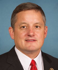
Bruce Westerman (R)

Rick Crawford (R)
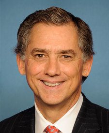
J. French Hill (R)

Steve Womack (R)
Source: campground records from RIDB, NPS, USFS EDW and BLM, unified by CAMPANAC, refreshed nightly