National Park Service · Texas
Padre Island National Seashore
Here, all of the campgrounds take walk-ups.
2Campgrounds
2Take walk-ups
82Sites
0–10 ftElevation
Where they are
2 of 2 mappedDrawing the map
© OpenFreeMap · OpenStreetMap · Esri hillshadeSource: RIDB · NPS · USFS EDW · BLM, unified by CAMPANAC · Oct 23, 2026
The campgrounds
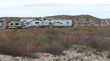
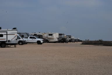
Source: RIDB · NPS · USFS EDW · BLM, unified by CAMPANAC · Oct 23, 2026
This land
measured from the nearest campground in the unitCamping here is a stake in what happens to it. More Than Just Parks tracks the threats and the comment windows.
Source: MTJP Threatened Lands map · Sep 28, 2026
Heads up
Caution
High tides forecasted for October. Check the tide chart. Several days of over 2.0 ft tides are forecasted during the month of October, including 2.6 ft tides at the end of the month. Be sure to check the tide chart and weather forecast when planning your trip.
Information
4-wheel drive recommended for beach driving 4-wheel drive is recommended if driving on North and South Beach.
Information
Be aware of changing beach conditions Beach conditions are changing frequently. Check current tide charts and weather forecasts before traveling on the beach.
Caution
Canine distemper is believed to be present in the park. Contact with saliva from wild animals can transmit distemper to pets, including from but not limited to water bowls, food bowls, trash etc. Distemper is not a threat to humans but can be deadly to pets. Ensure your pets are vaccinated or…
Source: National Park Service alerts API · Oct 23, 2026
Who answers for this land
Padre Island National Seashore’s campgrounds sit in one congressional district. These members vote on the laws that decide what happens to this land.

Vicente Gonzalez (D)
Source: campground records from RIDB, NPS, USFS EDW and BLM, unified by CAMPANAC, refreshed nightly