U.S. Forest Service · National Forest · California
Plumas National Forest
Here, 5% take walk-ups.
62Campgrounds
3Take walk-ups
2Free to camp
$10–$48A night, across 35
1,073Sites, from 38
1,750–7,070 ftElevation
Where they are
62 of 62 mappedDrawing the map
© OpenFreeMap · OpenStreetMap · Esri hillshadeSource: RIDB · NPS · USFS EDW · BLM, unified by CAMPANAC · Oct 23, 2026
The campgrounds
62 campgrounds
In 1 places, folded
Plumas National Forest62 campgrounds›
 Big Cove (Plumas National Forest, CA)Reservablefrom $383 pull-through sites62 sitesrigs to 95 ft5,620 ftdrinking watertoilets
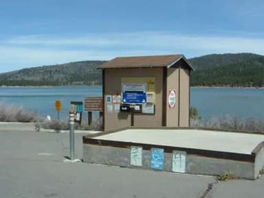 FrenchmanReservablefrom $3864 sitesrigs to 50 ft5,630 ftdrinking watertoilets
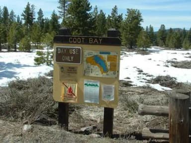 Grasshopper FlatReservablefrom $381 group site70 sitesrigs to 54 ft5,830 ftdrinking watertoilets
 Little Beaver A CampgroundReservablefrom $2376 with a bear box34 with a tent pad119 sites5,300 ftdrinking watertoilets
 Lone Rock (CA)Reservablefrom $3652 with a tent pad1 group site87 sitesrigs to 53 ft5,040 ftdrinking watertoilets
 GrizzlyReservablefrom $3855 sites5,870 ftdrinking watertoilets
 Spring CreekReservablefrom $3850 sitesrigs to 1 ft5,630 ftdrinking watertoilets
 Boulder Creek (CA)Reservablefrom $3644 sitesrigs to 51 ft5,230 ftdrinking watertoilets
 ChilcootReservablefrom $3440 sitesrigs to 40 ft5,110 fttoilets
 Lightning TreeReservablefrom $381 pull-through site39 sitesrigs to 45 ft5,790 ft
 Gold Lake Campground (CA)Reservablefrom $2538 sitesrigs to 2 ft6,460 fttoilets
 Long Point (CA)Reservablefrom $366 pull-through sites4 group sites36 sitesrigs to 88 ft5,040 ftdrinking watertoilets
Source: RIDB · NPS · USFS EDW · BLM, unified by CAMPANAC · Oct 23, 2026
This land
measured from the nearest campground in the unitRoadless
Roadless
Roadless
Roadless
Roadless
Roadless
Camping here is a stake in what happens to it. More Than Just Parks tracks the threats and the comment windows.
Source: USFS Inventoried Roadless Areas via MTJP Roadless Map · Jul 29, 2026
Heads up
Wildfire
Bunch fire · 41 mi from the nearest campground here
Wildfire
Wallace fire · 46 mi from the nearest campground here · 1 acres
Source: NIFC/IRWIN via MTJP wildfire tracker · Oct 24, 2026
Who answers for this land
Plumas National Forest’s campgrounds sit in 2 congressional districts. These members vote on the laws that decide what happens to this land.

Kevin Kiley (I)
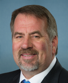
Doug LaMalfa (R)
Source: campground records from RIDB, NPS, USFS EDW and BLM, unified by CAMPANAC, refreshed nightly