Bureau of Land Management · Public Domain · Colorado
San Luis Valley Field Office
Here, none of the campgrounds take walk-ups.
5Campgrounds
$11A night at all 2 priced
60Sites, from 4
7,770–9,480 ftElevation
Where they are
5 of 5 mappedDrawing the map
© OpenFreeMap · OpenStreetMap · Esri hillshadeSource: RIDB · NPS · USFS EDW · BLM, unified by CAMPANAC · Oct 23, 2026
The campgrounds
5 campgrounds
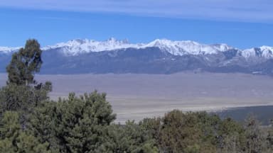 Zapata Falls CampgroundReservablefrom $117 pull-through sites1 group site41 sites7,770 fttoilets
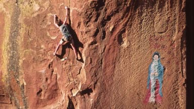 Penitente Canyon CampgroundReservablefrom $112 group sites17 sites7,910 ftdrinking water
 Brewery Creek Guard StationReservableSites from $501 pull-through site1 siterigs to 25 ft9,480 ftdrinking watertoilets
 Upper Crossing Guard StationReservableSites from $751 site8,420 fttoiletsZapata Falls Campground9,080 ft
Source: RIDB · NPS · USFS EDW · BLM, unified by CAMPANAC · Oct 23, 2026
This land
measured from the nearest campground in the unitRoadless
Roadless
Roadless
Roadless
Roadless
Roadless
Camping here is a stake in what happens to it. More Than Just Parks tracks the threats and the comment windows.
Source: USFS Inventoried Roadless Areas via MTJP Roadless Map · Jul 29, 2026
Who answers for this land
San Luis Valley Field Office’s campgrounds sit in one congressional district. These members vote on the laws that decide what happens to this land.

Jeff Hurd (R)
Source: campground records from RIDB, NPS, USFS EDW and BLM, unified by CAMPANAC, refreshed nightly