Bureau of Land Management and U.S. Forest Service · National Monument · California
Sand To Snow National Monument
Here, none of the campgrounds take walk-ups.
10Campgrounds
2,120–9,260 ftElevation
Where they are
10 of 10 mappedDrawing the map
© OpenFreeMap · OpenStreetMap · Esri hillshadeSource: RIDB · NPS · USFS EDW · BLM, unified by CAMPANAC · Sep 15, 2026
The campgrounds

Source: RIDB · NPS · USFS EDW · BLM, unified by CAMPANAC · Sep 15, 2026
This land
measured from the nearest campground in the unitRoadless
Roadless
Roadless
Roadless
Roadless
Roadless
Camping here is a stake in what happens to it. More Than Just Parks tracks the threats and the comment windows.
Roadless areas: USFS Inventoried Roadless Areas via MTJP Roadless Map · Jul 29, 2026
Source: MTJP Threatened Lands map · Oct 3, 2026
Heads up
Wildfire
Rru/North fire · 25 mi from the nearest campground here · 0 acres
Wildfire
Park fire · 27 mi from the nearest campground here · 0 acres
Wildfire
Etiwanda fire · 34 mi from the nearest campground here
Source: NIFC/IRWIN via MTJP wildfire tracker · Oct 23, 2026
Who answers for this land
Sand To Snow National Monument’s campgrounds sit in 2 congressional districts. These members vote on the laws that decide what happens to this land.
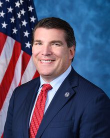
Jay Obernolte (R)
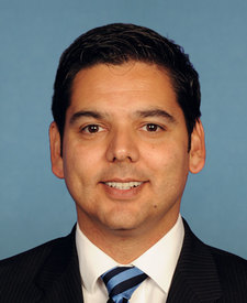
Raul Ruiz (D)
Source: campground records from RIDB, NPS, USFS EDW and BLM, unified by CAMPANAC, refreshed nightly