U.S. Forest Service · Tribal Land · Utah
Uintah Valley Indian Reservation Indian Reserve Classification Area
19 campgrounds here, 1 of them walk-up.
19Campgrounds
1Take walk-ups
$5–$10A night, across 13
120Sites, from 10
7,140–10,230 ftElevation
Where they are
19 of 19 mappedDrawing the map
© OpenFreeMap · OpenStreetMap · Esri hillshadeSource: RIDB · NPS · USFS EDW · BLM, unified by CAMPANAC · Sep 9, 2026
The campgrounds · 19
19 campgrounds
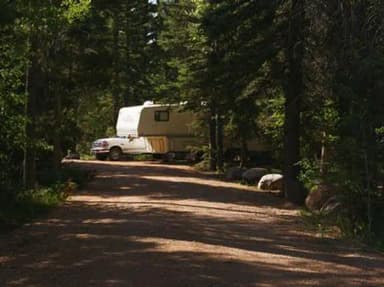 Reservable
Aspen (UT)
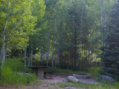 Reservable
Iron Mine
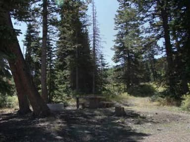 Reservable
Avintaquin Campground
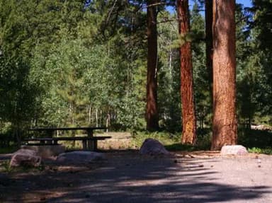 Reservable
Yellowpine
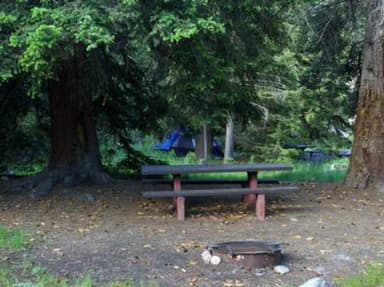 Reservable
Hades
 Reservable
Upper Stillwater
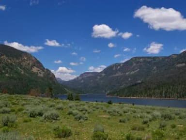 Reservable
Moon Lake Group Campground
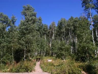 Reservable
Miners Gulch
Seen from the air The agency never photographed these, so here’s the satellite view.
Aspen Campgroundfrom $10 · 7,140 ftBridge Campgroundfrom $8 · 7,660 ftMill Flat Camping Area7,520 ftPole Creek Lake Campgroundfrom $5 · 10,230 ftFirst-comeReservoir Campgroundfrom $5 · 7,910 ftRiverview Campgroundfrom $10 · 7,980 ftSwift Creek Campgroundfrom $8 · 8,110 ftUinta Canyon Campgroundfrom $5 · 7,640 ftUinta River Group Campground7,660 ft
Source: RIDB · NPS · USFS EDW · BLM, unified by CAMPANAC · Sep 9, 2026
This land
measured from the nearest campground in the unitRoadless
Roadless
Roadless
Roadless
Roadless
Roadless
Camping here is a stake in what happens to it. More Than Just Parks tracks the threats and the comment windows.
Source: USFS Inventoried Roadless Areas via MTJP Roadless Map · Jul 29, 2026
Heads up
Wildfire
Range Valley fire · 32 mi from the nearest campground here · 5 acres
Wildfire
Balsam fire · 36 mi from the nearest campground here · 0 acres
Source: NIFC/IRWIN via MTJP wildfire tracker · Sep 9, 2026
Who answers for this land
Uintah Valley Indian Reservation Indian Reserve Classification Area’s campgrounds sit in one congressional district. These members vote on the laws that decide what happens to this land.

Mike Kennedy (R)
Source: campground records from RIDB, NPS, USFS EDW and BLM, unified by CAMPANAC, refreshed nightly