Bureau of Land Management · Wild and Scenic River · Oregon
Umpqua River
3 campgrounds here, none of them walk-up.
3Campgrounds
$14A night at the one priced
27Sites, from 2
210–220 ftElevation
Where they are
3 of 3 mappedDrawing the map
© OpenFreeMap · OpenStreetMap · Esri hillshadeSource: RIDB · NPS · USFS EDW · BLM, unified by CAMPANAC · Sep 9, 2026
The campgrounds · 3
3 campgrounds
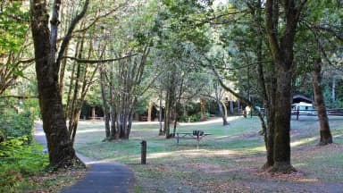
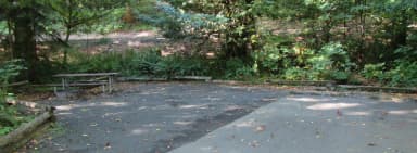
Seen from the air The agency never photographed these, so here’s the satellite view.
Source: RIDB · NPS · USFS EDW · BLM, unified by CAMPANAC · Sep 9, 2026
This land
measured from the nearest campground in the unitdeveloping
critical
critical
Camping here is a stake in what happens to it. More Than Just Parks tracks the threats and the comment windows.
Source: MTJP Threatened Lands map · Aug 12, 2026
Heads up
Wildfire
Singing Waters Rd fire · 16 mi from the nearest campground here · 0 acres
Wildfire
3661 Road fire · 17 mi from the nearest campground here · 0 acres
Wildfire
E Fork Coquille River fire · 31 mi from the nearest campground here · 0 acres
Wildfire
Packard Gulch fire · 37 mi from the nearest campground here
Wildfire
Canyon Creek fire · 42 mi from the nearest campground here
Source: NIFC/IRWIN via MTJP wildfire tracker · Sep 9, 2026
Who answers for this land
Umpqua River’s campgrounds sit in one congressional district. These members vote on the laws that decide what happens to this land.

Val Hoyle (D)
Source: campground records from RIDB, NPS, USFS EDW and BLM, unified by CAMPANAC, refreshed nightly