U.S. Forest Service · National Recreation Area · Colorado
Arapaho National Recreation Area
Here, one in seven take walk-ups.
7Campgrounds
1Take walk-ups
$29–$32A night, across 3
266Sites, from 6
8,190–8,350 ftElevation
Where they are
7 of 7 mappedDrawing the map
© OpenFreeMap · OpenStreetMap · Esri hillshadeSource: RIDB · NPS · USFS EDW · BLM, unified by CAMPANAC · Oct 23, 2026
The campgrounds
7 campgrounds
 Arapaho BayReservablefrom $293 pull-through sites83 sitesrigs to 45 ft8,320 ftdrinking watertoilets
 Green RidgeReservablefrom $297 pull-through sites74 sitesrigs to 47 ft8,350 ftdrinking watertoilets
 Stillwater (Colorado)Reservablefrom $3228 walk-in sites6 pull-through sites106 sitesrigs to 47 ft8,310 fthookupsdrinking watertoilets
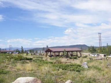 Cutthroat Bay GroupReservableSites from $1472 pull-through sites2 group sites2 sitesrigs to 16 ft8,320 fthookupsdrinking watertoilets
 Willow Creek GroupReservableSites from $1161 with a tent pad1 group site1 site8,190 fttoilets
 AA Bar Ranch (AA Barn) Group Picnic SiteReservableSites from $1001 group site8,330 fttoiletsSunset Point CampgroundFirst-come8,300 ftdrinking watertoilets
Source: RIDB · NPS · USFS EDW · BLM, unified by CAMPANAC · Oct 23, 2026
This land
measured from the nearest campground in the unitCamping here is a stake in what happens to it. More Than Just Parks tracks the threats and the comment windows.
Source: USFS Inventoried Roadless Areas via MTJP Roadless Map · Jul 29, 2026
Who answers for this land
Arapaho National Recreation Area’s campgrounds sit in one congressional district. These members vote on the laws that decide what happens to this land.

Joe Neguse (D)
Source: campground records from RIDB, NPS, USFS EDW and BLM, unified by CAMPANAC, refreshed nightly