U.S. Forest Service · National Forest · Montana
Deerlodge National Forest
Here, one in ten take walk-ups.
29Campgrounds
3Take walk-ups
2Free to camp
$15–$45A night, across 8
104Sites, from 15
4,810–6,950 ftElevation
Where they are
29 of 29 mappedDrawing the map
© OpenFreeMap · OpenStreetMap · Esri hillshadeSource: RIDB · NPS · USFS EDW · BLM, unified by CAMPANAC · Oct 23, 2026
The campgrounds
29 campgrounds
 Philipsburg Bay CampgroundReservablefrom $1745 sitesrigs to 60 ft6,390 fthookupstoilets
 Lodgepole Campground (on Georgetown Lake, Montana)Reservablefrom $171 hike-in site21 sitesrigs to 35 ft6,430 ft
 Piney Campground and Boat LaunchReservableSites from $1719 sitesrigs to 45 ft6,400 ftdrinking watertoilets
 Spring Hill CampgroundReservablefrom $1510 sitesrigs to 50 ft6,130 ft
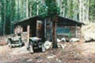 Doney CabinReservable1 site6,340 ft
 Douglas Creek CabinReservablefrom $451 site5,740 fttoilets
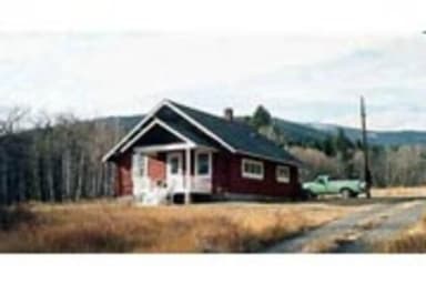 Fleecer StationReservableSites from $751 site6,120 fttoilets
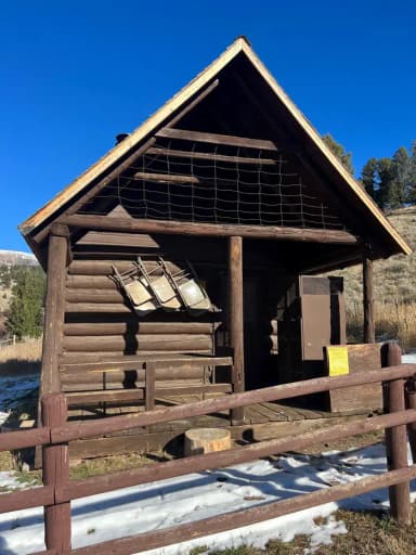 Hells Canyon Guard StationReservableSites from $551 site6,520 ftdrinking watertoilets
 High Rye CabinReservableSites from $451 site5,830 fttoilets
 Moose Lake CabinReservableSites from $451 site5,880 ftdrinking watertoilets
 Racetrack CabinReservableSites from $451 site6,140 ft
 Stony CabinReservableSites from $451 site4,820 ftdrinking watertoilets
 West Fork Of Rock Creek Cabin (MT)Reservable1 site5,370 ftdrinking watertoilets
 Beaverdam Campground and Picnic Area6,570 ft
 Cable Mountain CampgroundFirst-come6,600 ftdrinking water
 Delmoe Lake Campground and Picnic Area6,240 fttoilets
 Flint Creek Campgroundfrom $155,590 fttoilets
 Freedom Point Picnic AreaReservableSites from $506,360 ft
 Sheepshead Picnic AreaReservable6,440 ftCopper Creek CampgroundFirst-comefrom $155,930 ftCrystal Creek CampgroundFree6,950 ftEast Fork Group Picnic Area5,980 ftLowland Campground and Picnic Area6,670 ftdrinking waterOrofino Campground and Picnic Area6,460 ft
Source: RIDB · NPS · USFS EDW · BLM, unified by CAMPANAC · Oct 23, 2026
This land
measured from the nearest campground in the unitRoadless
Roadless
Roadless
Roadless
Roadless
Roadless
Camping here is a stake in what happens to it. More Than Just Parks tracks the threats and the comment windows.
Roadless areas: USFS Inventoried Roadless Areas via MTJP Roadless Map · Jul 29, 2026
Source: MTJP Threatened Lands map · Oct 4, 2026
Heads up
Wildfire
Moose fire · 7.1 mi from the nearest campground here · 6,005 acres · 100% contained
Wildfire
Black Bear fire · 8.2 mi from the nearest campground here · 2,126 acres · 100% contained
Wildfire
Nature Grove fire · 10 mi from the nearest campground here · 1,422 acres · 100% contained
Wildfire
North Fork Lost Horse fire · 29 mi from the nearest campground here · 118 acres · 100% contained
Wildfire
Mineral Hill fire · 33 mi from the nearest campground here · 0 acres
Wildfire
Sand Creek fire · 35 mi from the nearest campground here · 35,520 acres · 83% contained
Source: NIFC/IRWIN via MTJP wildfire tracker · Oct 22, 2026
Who answers for this land
Deerlodge National Forest’s campgrounds sit in 2 congressional districts. These members vote on the laws that decide what happens to this land.
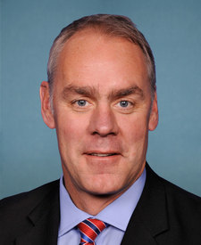
Ryan Zinke (R)

Troy Downing (R)
Source: campground records from RIDB, NPS, USFS EDW and BLM, unified by CAMPANAC, refreshed nightly