U.S. Forest Service · National Forest · Washington
Gifford Pinchot National Forest
Here, one in twelve take walk-ups.
48Campgrounds
4Take walk-ups
2Free to camp
$5–$27A night, across 37
676Sites, from 36
940–4,640 ftElevation
Where they are
48 of 48 mappedDrawing the map
© OpenFreeMap · OpenStreetMap · Esri hillshadeSource: RIDB · NPS · USFS EDW · BLM, unified by CAMPANAC · Oct 23, 2026
The campgrounds
48 campgrounds
In 1 places, folded
Gifford Pinchot National Forest48 campgrounds · 2 open›
 Sunset Falls CampgroundReservableOpenfrom $208 hike-in sites18 with a tent pad18 sitesrigs to 40 ft1,010 fttoilets
 Govt Mineral Springs Guard StaReservableOpenSites from $1001 with a tent pad1 site1,220 fttoilets
 Iron Creek CampgroundReservablefrom $274 pull-through sites99 sitesrigs to 40 ft1,090 ftdrinking water
 La Wis Wis CampgroundReservablefrom $274 walk-in sites14 pull-through sites113 sitesrigs to 60 ft1,240 fttoilets
 Takhlakh Lake CampgroundReservablefrom $2554 sitesrigs to 99 ft4,420 fttoilets
 Lower Falls CampgroundReservablefrom $203 pull-through sites43 sites1,530 ftdrinking watertoilets
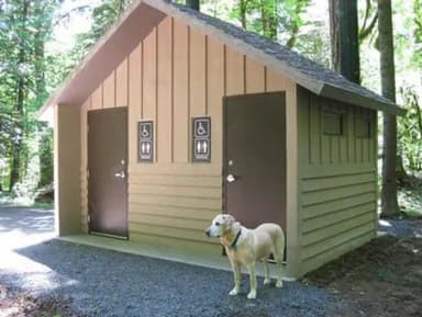 Paradise Creek campgroundReservablefrom $2542 sitesrigs to 40 ft1,550 ftdrinking watertoilets
 Walupt Lake CampgroundReservablefrom $251 pull-through site42 sitesrigs to 30 ft3,920 fttoilets
 Panther Creek campgroundReservablefrom $2533 sitesrigs to 40 ft940 ftdrinking watertoilets
 Peterson Prairie CampgroundReservablefrom $258 pull-through sites1 group site30 sitesrigs to 40 ft2,980 ftdrinking watertoilets
 Beaver CampgroundReservablefrom $273 pull-through sites1 group site25 sitesrigs to 40 ft1,060 ftdrinking watertoilets
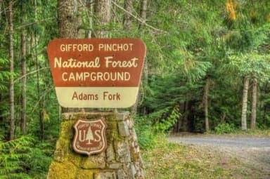 Adams Fork CampgroundReservablefrom $252 with a tent pad1 pull-through site23 sitesrigs to 42 ft2,540 ftdrinking watertoilets
Source: RIDB · NPS · USFS EDW · BLM, unified by CAMPANAC · Oct 23, 2026
This land
measured from the nearest campground in the unitdeveloping
Roadless
Roadless
Roadless
Roadless
Roadless
Roadless
Camping here is a stake in what happens to it. More Than Just Parks tracks the threats and the comment windows.
Roadless areas: USFS Inventoried Roadless Areas via MTJP Roadless Map · Jul 29, 2026
Source: MTJP Threatened Lands map · Oct 9, 2026
Heads up
Wildfire
High Lava fire · 5.9 mi from the nearest campground here · 2,899 acres · 100% contained
Wildfire
Mckinley fire · 13 mi from the nearest campground here · 0 acres
Wildfire
Garda Falls fire · 18 mi from the nearest campground here · 308 acres · 0% contained
Wildfire
West Fork fire · 20 mi from the nearest campground here · 310 acres · 16% contained
Wildfire
Clark Road fire · 26 mi from the nearest campground here · 27 acres
Wildfire
Tide Creek Rd fire · 29 mi from the nearest campground here · 0 acres
Source: NIFC/IRWIN via MTJP wildfire tracker · Oct 23, 2026
Who answers for this land
Gifford Pinchot National Forest’s campgrounds sit in 2 congressional districts. These members vote on the laws that decide what happens to this land.

Marie Gluesenkamp Perez (D)
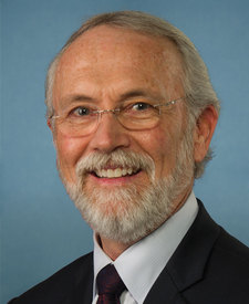
Dan Newhouse (R)
Source: campground records from RIDB, NPS, USFS EDW and BLM, unified by CAMPANAC, refreshed nightly