National Park Service · National Monument · Maine
Katahdin Woods and Waters National Monument
Here, none of the campgrounds take walk-ups.
18Campgrounds
14Free to camp
53Sites
360–1,240 ftElevation
Where they are
18 of 18 mappedDrawing the map
© OpenFreeMap · OpenStreetMap · Esri hillshadeSource: RIDB · NPS · USFS EDW · BLM, unified by CAMPANAC · Oct 23, 2026
The campgrounds
18 campgrounds
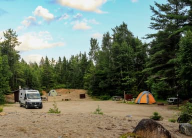 Sandbank Stream CampgroundReservableOpenFree3 sites700 fttoilets
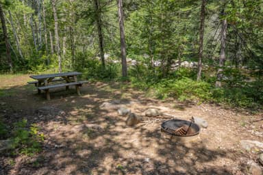 Esker CampsiteReservableOpenFree1 site540 ft
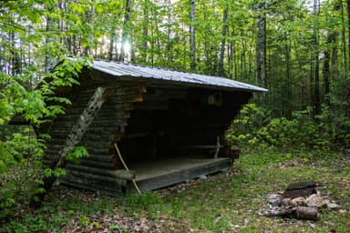 Grand Pitch Lean-toReservableOpenFree1 site520 fttoilets
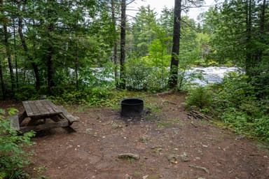 Pond Pitch CampsiteReservableOpenFree1 site530 ft
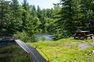 Stair Falls CampsiteReservableOpen1 site600 ft
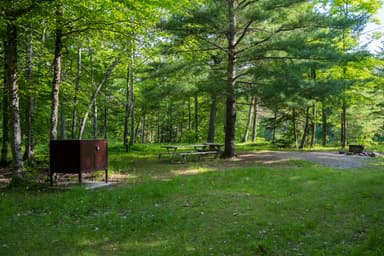 Upper East Branch CampsiteReservableOpenFree1 site620 fttoilets
 Katahdin Woods & Waters National Monument CampingReservable2 boat-in sites8 walk-in sites27 sites650 fttoilets
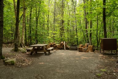 Lunksoos CampsitesReservableFree7 sites380 fttoilets
 Katahdin Woods and Waters National Monument HutsReservable1 hike-in site2 sites1,120 fttoilets
 Big Seboeis CampsiteReservableFree1 site360 fttoilets
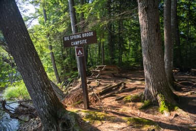 Big Spring Brook CampsiteReservable1 site430 ft
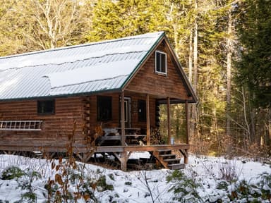 Big Spring Brook HutReservableFree1 site740 fttoilets
 Haskell Deadwater CampsiteReservableFree1 site580 fttoilets
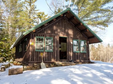 Haskell HutReservableFree1 site600 fttoilets
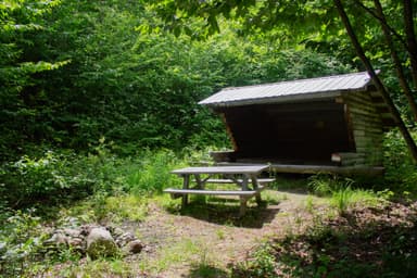 Katahdin Brook Lean-toReservableFree1 site970 fttoilets
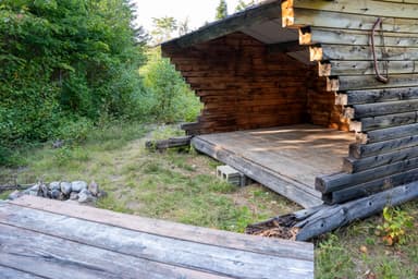 Lunksoos Mountain Lean-ToReservableFree1 site1,240 ftdrinking watertoilets
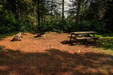 Wassataquoik CampsiteReservableFree1 site600 ft
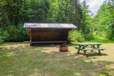 Wassataquoik Lean-toReservableFree1 site610 ft
Source: RIDB · NPS · USFS EDW · BLM, unified by CAMPANAC · Oct 23, 2026
This land
measured from the nearest campground in the unitCamping here is a stake in what happens to it. More Than Just Parks tracks the threats and the comment windows.
Source: MTJP Threatened Lands map · Oct 3, 2026
Heads up
Caution
Increased Logging Traffic Along Swift Brook Road Be alert for logging trucks along Swift Brook Road between the monument boundary and the start of the Loop Road. Logging trucks will be transporting logs on Swift Brook Road to Roberts Road. Logging trucks ALWAYS have the right of way.…
Caution
Hunting Season Begins Hunting in Katahdin Woods and Waters National Monument is now open for the 2026 season. Hunting is permitted on all monument land east of the East Branch Penobscot River. It is recommended that all visitors wear high visibility clothing…
Source: National Park Service alerts API · Oct 23, 2026
Who answers for this land
Katahdin Woods and Waters National Monument’s campgrounds sit in one congressional district. These members vote on the laws that decide what happens to this land.

Jared Golden (D)
Source: campground records from RIDB, NPS, USFS EDW and BLM, unified by CAMPANAC, refreshed nightly