U.S. Forest Service · National Forest · North Carolina
Nantahala National Forest
Here, one in five take walk-ups.
10Campgrounds
2Take walk-ups
$15–$26A night, across 5
130Sites, from 4
1,990–3,420 ftElevation
Where they are
10 of 10 mappedDrawing the map
© OpenFreeMap · OpenStreetMap · Esri hillshadeSource: RIDB · NPS · USFS EDW · BLM, unified by CAMPANAC · Oct 23, 2026
The campgrounds
10 campgrounds
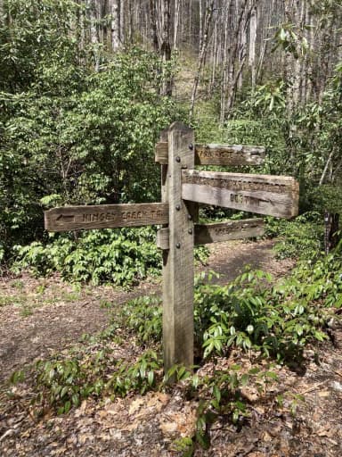 Standing Indian CampgroundReservableOpenfrom $263 group sites81 sitesrigs to 50 ft3,380 ftdrinking watertoilets
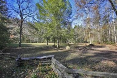 Rattler Ford Group CampgroundReservableOpenSites from $754 with a tent pad4 group sites4 sitesrigs to 30 ft2,080 ftdrinking watertoilets
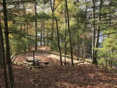 Cheoah Point CampgroundReservablefrom $2023 sitesrigs to 40 ft2,000 fthookupsdrinking watertoilets
 Van Hook GladeReservablefrom $2410 with a tent pad22 sitesrigs to 36 ft3,250 fttoiletsHorse Cove CampgroundOpenfrom $152,050 fttoiletsKimsey Creek Group CampgroundOpen3,420 ftAppletree Group Campground2,750 ftdrinking watertoiletsCheoah Point Recreation Areafrom $201,990 ftRattler Ford CampgroundFirst-come2,180 ftTsali Recreation AreaFirst-come2,180 ftdrinking watertoilets
Source: RIDB · NPS · USFS EDW · BLM, unified by CAMPANAC · Oct 23, 2026
This land
measured from the nearest campground in the unitRoadless
Roadless
Roadless
Roadless
Roadless
Camping here is a stake in what happens to it. More Than Just Parks tracks the threats and the comment windows.
Roadless areas: USFS Inventoried Roadless Areas via MTJP Roadless Map · Jul 29, 2026
Source: MTJP Threatened Lands map · Oct 3, 2026
Who answers for this land
Nantahala National Forest’s campgrounds sit in one congressional district. These members vote on the laws that decide what happens to this land.

Chuck Edwards (R)
Source: campground records from RIDB, NPS, USFS EDW and BLM, unified by CAMPANAC, refreshed nightly