U.S. Forest Service · National Forest · North Carolina
Pisgah National Forest
Here, one in eight take walk-ups.
16Campgrounds
2Take walk-ups
$15–$37A night, across 8
325Sites, from 13
1,320–3,240 ftElevation
Where they are
16 of 16 mappedDrawing the map
© OpenFreeMap · OpenStreetMap · Esri hillshadeSource: RIDB · NPS · USFS EDW · BLM, unified by CAMPANAC · Oct 23, 2026
The campgrounds
16 campgrounds
 Black Mountain CampgroundReservableOpenfrom $284 hike-in sites28 with a tent pad41 sites3,010 fthookupstoilets
 Carolina Hemlocks Rec AreaReservableOpenfrom $283 hike-in sites1 with a tent pad35 sitesrigs to 35 ft2,760 fthookupstoilets
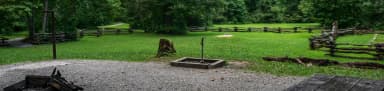 North Mills RiverReservableOpenfrom $311 group site29 sitesrigs to 35 ft2,220 fthookupsdrinking watertoilets
 Mortimer CampgroundReservableOpenfrom $205 hike-in sites16 with a tent pad17 sites1,500 fttoilets
 Briar Bottom Group CampgroundReservableOpenSites from $1256 group sites6 sites3,010 fttoilets
 Kuykendall Group CampReservableOpenSites from $1301 group site1 siterigs to 30 ft2,330 ftdrinking watertoilets
 Davidson RiverReservablefrom $3727 with a bear box135 with a tent pad144 sitesrigs to 67 ft2,150 fthookupstoilets
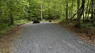 Harmon Den CampgroundReservablefrom $1522 sitesrigs to 30 ft2,900 fttoilets
 Rocky Bluff CampgroundReservablefrom $1517 with a tent pad17 sitesrigs to 55 ft1,750 ftdrinking watertoilets
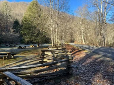 SunburstReservablefrom $2510 sites3,240 ftdrinking watertoilets
 Cove Creek Lower Group CampReservableSites from $1301 group site1 siterigs to 35 ft2,970 ftdrinking watertoilets
 Cove Creek Upper Group CampReservableSites from $1301 group site1 siterigs to 35 ft2,970 ftdrinking watertoilets
 Wash Creek Horse CampReservableSites from $401 group site1 site2,450 fttoiletsCove Creek Group CampgroundOpen2,640 fttoiletsBoone Fork CampgroundFirst-come1,320 ftCurtis Creek CampgroundFirst-come1,870 ft
Source: RIDB · NPS · USFS EDW · BLM, unified by CAMPANAC · Oct 23, 2026
This land
measured from the nearest campground in the unitdeveloping
Roadless
Roadless
Roadless
Roadless
Roadless
Roadless
Camping here is a stake in what happens to it. More Than Just Parks tracks the threats and the comment windows.
Roadless areas: USFS Inventoried Roadless Areas via MTJP Roadless Map · Jul 29, 2026
Source: MTJP Threatened Lands map · Oct 3, 2026
Who answers for this land
Pisgah National Forest’s campgrounds sit in 2 congressional districts. These members vote on the laws that decide what happens to this land.

Chuck Edwards (R)
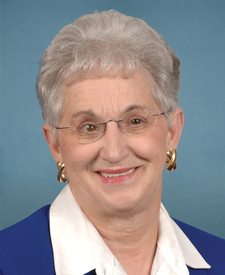
Virginia Foxx (R)
Source: campground records from RIDB, NPS, USFS EDW and BLM, unified by CAMPANAC, refreshed nightly