U.S. Forest Service · National Forest · Idaho and Utah
Sawtooth National Forest
Here, 11% take walk-ups.
38Campgrounds
4Take walk-ups
3Free to camp
$6–$10A night, across 11
100Sites, from 13
4,590–8,380 ftElevation
2States
Where they are
38 of 38 mappedDrawing the map
© OpenFreeMap · OpenStreetMap · Esri hillshadeSource: RIDB · NPS · USFS EDW · BLM, unified by CAMPANAC · Oct 23, 2026
The campgrounds
38 campgrounds
 Baumgartner CampgroundReservablefrom $1030 with a tent pad1 pull-through site31 sitesrigs to 76 ft5,780 ftdrinking watertoilets
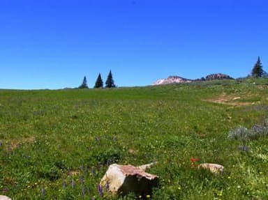 Thompson FlatReservablefrom $83 group sites13 sitesrigs to 60 ft8,040 fttoilets
 Porcupine SpringsReservablefrom $103 group sites9 sitesrigs to 30 ft6,920 ftdrinking watertoilets
 Lake Cleveland - East SideReservablefrom $108 sitesrigs to 60 ft8,260 ft
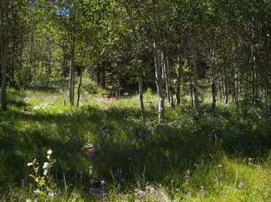 Lower PenstemonReservablefrom $87 sitesrigs to 30 ft6,610 ftdrinking watertoiletsAbbott CampgroundOpenfrom $64,590 fttoiletsBoundary (ID)Reservablefrom $104 sites6,100 ftDiamondfield Jack CampgroundReservable4 sites7,000 ftLake Cleveland Campground - West SideReservable4 sites8,380 ftPettit CampgroundReservable4 sites6,880 ftSchipper CampgroundReservable4 sites4,590 ftSteer Basin CampgroundReservable4 sites5,120 ftTwin Lakes Campground (Sawtooth)Reservable4 sites8,190 ftUpper Penstemon CampgroundReservable4 sites6,660 ftBear Creek Transfer CampFree6,030 fttoiletsBear Gulch Campground6,000 fttoiletsBennett Springs Campground7,410 ftBird Creek Campgroundfrom $64,690 ftBostetter CampgroundFirst-come7,160 ftBoundary Campground and Picnic Area6,090 ftdrinking watertoiletsBowns CampgroundFirst-come5,470 ftdrinking watertoiletsCanyon Transfer Campfrom $65,590 ftdrinking watertoiletsChaparral Campgroundfrom $64,620 fttoiletsClear Creek CampgroundFirst-come6,320 fttoilets
Source: RIDB · NPS · USFS EDW · BLM, unified by CAMPANAC · Oct 23, 2026
This land
measured from the nearest campground in the unitRoadless
Roadless
Roadless
Roadless
Roadless
Roadless
Camping here is a stake in what happens to it. More Than Just Parks tracks the threats and the comment windows.
Roadless areas: USFS Inventoried Roadless Areas via MTJP Roadless Map · Jul 29, 2026
Source: MTJP Threatened Lands map · Oct 9, 2026
Heads up
Wildfire
East Fork fire · 5.5 mi from the nearest campground here · 266 acres · 5% contained
Source: NIFC/IRWIN via MTJP wildfire tracker · Oct 22, 2026
Who answers for this land
Sawtooth National Forest’s campgrounds sit in 2 congressional districts. These members vote on the laws that decide what happens to this land.

Mike Simpson (R)
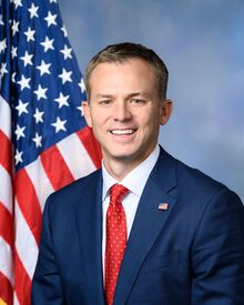
Blake Moore (R)
Source: campground records from RIDB, NPS, USFS EDW and BLM, unified by CAMPANAC, refreshed nightly