Shiefer Campground
This is how it should work.
- Right now
- Nobody has saidNo season, no closure, no bookings to read
- A night
- FreeNo camping fee
The place
the agency’s own description · what’s there
In the agency’s own words
Shiefer Campground is an undeveloped site on the Salmon River with views of the South Fork canyon country all around. Elevation 3050 feet. Trails lead along the river into the Frank Church River of No Return Wilderness. A shorter trail leads to Pilot Peak lookout. Please pack out your trash. This campground takes several hours to reach by car from McCall and is not serviced on a regular basis.
Around the campground
- On the water
- River
Nothing to book, just show up
One of 1,623 federal campgrounds where the site still goes to whoever pulls in first, and it costs nothing at all. Get there before noon on a summer weekend.
recreation.gov publishes no availability for a campground you can’t reserve, so there’s no thirty-night reading to draw here. The season bar above is what the agency does publish.
Every line of the receipt · 4
What you actually pay
Derived by CAMPANAC: the agency’s own record says there’s no camping fee, and no booking fee, because this campground takes no reservations. A weekend here means Friday and Saturday night. Optional charges (an extra vehicle, a second tent, a dump-station fee) are listed separately and aren’t in this total.
How we know this receipt · 5
record Aug 24, 2026 · How we know all this
Getting there
the map and the coordinate
Where it is
 ChinookPayette National Forest · 12 mi
 PonderosaPayette National Forest · 12 mi
 Secesh CampgroundPayette National Forest · 12 mi
 Big CreekAnadromous Spawning Area Anadromous Spawning Area · 13 miIndian Point Camping AreaPayette National Forest · 13 mi
 Deadman Bar Camping AreaPayette National Forest · 15 mi
The weather
the next four days · the thirty-year normal
Next four days, and the thirty-year normal
Forecast
NWS forecast for Yellow Pine, ID
Typical weather
Typical October night 35°F, day 62°F.
Coldest month of the year: typical January night 21°F, below freezing. Bring a bag rated colder than that, and expect ice in the water bottle.
Daily high and lowDays with 0.10 in or more
A normal is the 1991-2020 average for the month, not a forecast: about half of all Julys are colder than the July line. The seven-day forecast above answers the other question.
The land, and who answers for it
what threatens it · who answers for it
What threatens this place
You’re camping on ground somebody wants. We track the threats and the comment deadlines.
Who answers for this land
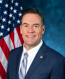
Shiefer Campground is in Idaho’s 1st congressional district. Its representative, Russ Fulcher (R), votes on the laws that decide what happens to this land. Public-lands grade so far: F. See every public-lands vote →