U.S. Forest Service · National Forest · Arizona
Coronado National Forest
Here, 23% take walk-ups.
52Campgrounds
12Take walk-ups
$15–$31A night, across 12
106Sites, from 29
2,820–9,480 ftElevation
Where they are
52 of 52 mappedDrawing the map
© OpenFreeMap · OpenStreetMap · Esri hillshadeSource: RIDB · NPS · USFS EDW · BLM, unified by CAMPANAC · Oct 23, 2026
The campgrounds
52 campgrounds
In 1 places, folded
Coronado National Forest52 campgrounds · 24 open›
 Showers Point Group SiteReservableOpenSites from $1143 group sites3 sites7,790 ftdrinking watertoilets
 Upper ArcadiaReservableOpenfrom $301 hike-in site1 group site2 sitesrigs to 40 ft6,660 ftdrinking watertoilets
 Lower Twilight Group SiteReservableOpenfrom $251 hike-in site1 group site1 siterigs to 40 ft7,460 fttoilets
 PeppersauceReservableOpen1 group site1 siterigs to 22 ft4,620 fttoilets
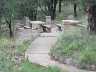 Rock Bluff Group SiteReservableOpenSites from $451 group site1 site5,440 ft
 Stockton PassReservableOpenfrom $251 group site1 siterigs to 40 ft5,680 fttoilets
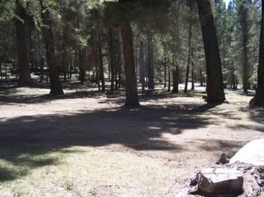 Upper Hospital Flat Group SiteReservableOpen1 pull-through site1 group site1 siterigs to 40 ft9,040 ft
 Arcadia CampgroundOpen6,660 ft
 Bog Springs CampgroundFirst-comeOpen5,020 ft
 Cochise Stronghold CampgroundFirst-comeOpen5,000 ft
 Columbine Corrals CampgroundFirst-comeOpen9,480 ftdrinking watertoilets
 Cunningham CampgroundFirst-comeOpen8,850 ft
Source: RIDB · NPS · USFS EDW · BLM, unified by CAMPANAC · Oct 23, 2026
This land
measured from the nearest campground in the unitRoadless
Roadless
Roadless
Roadless
Roadless
Roadless
Camping here is a stake in what happens to it. More Than Just Parks tracks the threats and the comment windows.
Roadless areas: USFS Inventoried Roadless Areas via MTJP Roadless Map · Jul 29, 2026
Source: MTJP Threatened Lands map · Oct 16, 2026
Who answers for this land
Coronado National Forest’s campgrounds sit in 2 congressional districts. These members vote on the laws that decide what happens to this land.

Juan Ciscomani (R)

Adelita Grijalva (D)
Source: campground records from RIDB, NPS, USFS EDW and BLM, unified by CAMPANAC, refreshed nightly