National Park Service · National Park · Montana
Glacier National Park
Here, 36% take walk-ups.
14Campgrounds
5Take walk-ups
$15–$20A night, across 8
1,082Sites
3,180–6,080 ftElevation
Where they are
14 of 14 mappedDrawing the map
© OpenFreeMap · OpenStreetMap · Esri hillshadeSource: RIDB · NPS · USFS EDW · BLM, unified by CAMPANAC · Oct 23, 2026
The campgrounds
14 campgrounds
 St. Mary CampgroundReservableOpenfrom $209 hike-in sites49 with a tent pad157 sitesrigs to 40 ft4,520 ftdrinking watertoilets
 Apgar CampgroundReservablefrom $2015 hike-in sites134 with a tent pad211 sitesrigs to 42 ft3,180 ftdrinking watertoilets
 Avalanche CampgroundReservable4 hike-in sites90 with a tent pad91 sitesrigs to 34 ft3,420 ftdrinking watertoilets
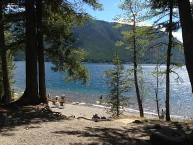 Fish Creek CampgroundReservable1 with a bear box5 hike-in sites189 sitesrigs to 35 ft3,220 ftdrinking watertoilets
 Many Glacier CampgroundReservablefrom $20111 with a bear box5 hike-in sites111 sitesrigs to 35 ft4,920 ftdrinking watertoilets
 Rising Sun CampgroundReservable1 hike-in site60 pull-through sites83 sitesrigs to 21 ft6,080 ftdrinking watertoilets
 Two Medicine CampgroundReservable4 with a bear box84 pull-through sites105 sitesrigs to 40 ft5,180 ftdrinking watertoilets
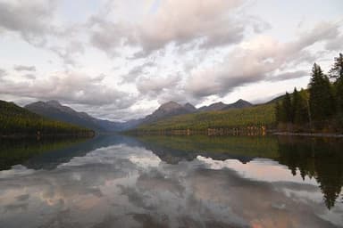 Bowman Lake CampgroundFirst-comefrom $1548 sites4,050 ftdrinking watertoilets
 Sprague Creek CampgroundReservable8 hike-in sites36 sitesrigs to 21 ft3,180 ftdrinking watertoilets
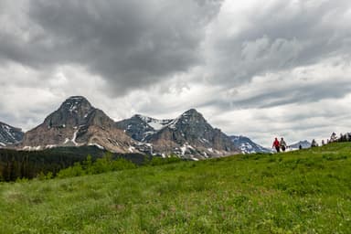 Cut Bank CampgroundFirst-comefrom $2014 sites5,170 fttoilets
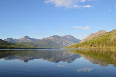 Kintla Lake CampgroundFirst-comefrom $1513 sites4,020 ftdrinking watertoilets
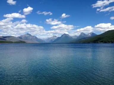 Apgar Group SitesReservable5 with a bear box10 with a tent pad10 sites3,180 ftdrinking watertoilets
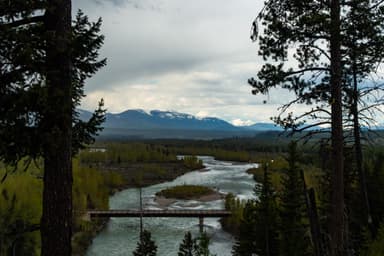 Logging Creek CampgroundFirst-comefrom $157 sites3,440 fttoilets
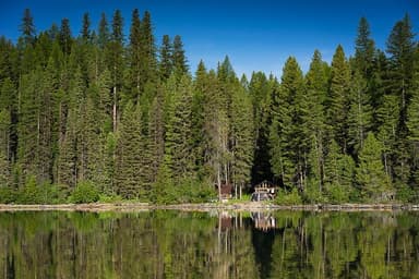 Quartz Creek CampgroundFirst-comefrom $157 sites3,520 fttoilets
Source: RIDB · NPS · USFS EDW · BLM, unified by CAMPANAC · Oct 23, 2026
This land
measured from the nearest campground in the unitCamping here is a stake in what happens to it. More Than Just Parks tracks the threats and the comment windows.
Roadless areas: USFS Inventoried Roadless Areas via MTJP Roadless Map · Jul 29, 2026
Source: MTJP Threatened Lands map · Oct 9, 2026
Heads up
Wildfire
Fox Creek fire · 6.3 mi from the nearest campground here
Park Closure
Going-to-the-Sun Road Seasonal Closure Going-to-the-Sun Road is closed for the season at Avalanche Creek on the west side of the park. On the east side, the closure is located at Jackson Glacier Overlook. Travel on open sections of the road may change at any time due to winter…
Alerts: National Park Service alerts API · Oct 24, 2026
Source: NIFC/IRWIN via MTJP wildfire tracker · Oct 21, 2026
Who answers for this land
Glacier National Park’s campgrounds sit in one congressional district. These members vote on the laws that decide what happens to this land.
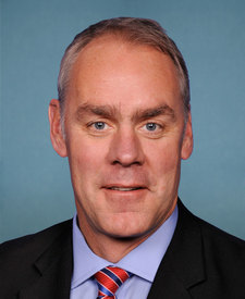
Ryan Zinke (R)
Source: campground records from RIDB, NPS, USFS EDW and BLM, unified by CAMPANAC, refreshed nightly