U.S. Forest Service · National Forest · Oregon
Mt. Hood National Forest
Here, one in three take walk-ups.
84Campgrounds
27Take walk-ups
$10–$46A night, across 45
963Sites, from 45
170–5,560 ftElevation
Where they are
84 of 84 mappedDrawing the map
© OpenFreeMap · OpenStreetMap · Esri hillshadeSource: RIDB · NPS · USFS EDW · BLM, unified by CAMPANAC · Oct 23, 2026
The campgrounds
84 campgrounds
In 1 places, folded
Mt. Hood National Forest84 campgrounds · 1 open›
 Lost Lake Resort and CampgroundReservablefrom $44.8813 hike-in sites82 with a tent pad82 sitesrigs to 105 ft3,150 ftdrinking watertoilets
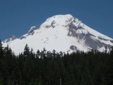 TrilliumReservablefrom $307 hike-in sites58 with a tent pad63 sitesrigs to 95 ft3,620 ftdrinking watertoilets
 Gone Creek Campground (Timothy Lake, OR)Reservablefrom $2819 pull-through sites1 group site50 sitesrigs to 60 ft3,250 ftdrinking watertoilets
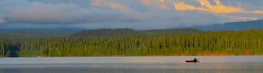 Oak Fork Campground (Timothy Lake, OR)Reservablefrom $248 hike-in sites7 pull-through sites50 sitesrigs to 60 ft3,250 ftdrinking watertoilets
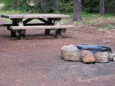 Clackamas LakeReservablefrom $302 hike-in sites44 with a tent pad45 sitesrigs to 120 ft3,360 ft
 Hoodview Campground (Timothy Lake, OR)Reservablefrom $286 hike-in sites4 pull-through sites45 sitesrigs to 35 ft3,250 ftdrinking watertoilets
 Stone Creek Campground (Timothy Lake, OR)Reservablefrom $285 pull-through sites5 group sites45 sites3,260 ftdrinking watertoilets
 Rock Creek Campground (Mt. Hood National Forest, OR)Reservablefrom $3032 with a tent pad33 sitesrigs to 40 ft2,210 ftdrinking watertoilets
 Frog LakeReservablefrom $21.3431 with a tent pad32 sitesrigs to 26 ft3,910 ftdrinking watertoilets
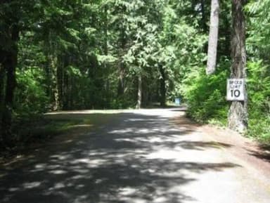 LockabyReservable20 hike-in sites29 with a tent pad30 sitesrigs to 26 ft880 ftdrinking watertoilets
 Clear Lake (OR)Reservablefrom $21.341 hike-in site27 with a tent pad28 sitesrigs to 34 ft3,550 ftdrinking watertoilets
 Pine Point Campground (Timothy Lake, OR)Reservablefrom $2817 with a tent pad6 pull-through sites27 sites3,260 ftdrinking watertoilets
Source: RIDB · NPS · USFS EDW · BLM, unified by CAMPANAC · Oct 23, 2026
This land
measured from the nearest campground in the unitdeveloping
Roadless
Roadless
Roadless
Roadless
Roadless
Roadless
Camping here is a stake in what happens to it. More Than Just Parks tracks the threats and the comment windows.
Roadless areas: USFS Inventoried Roadless Areas via MTJP Roadless Map · Jul 29, 2026
Source: MTJP Threatened Lands map · Oct 4, 2026
Heads up
Wildfire
The Narrows fire · 0.8 mi from the nearest campground here · 305 acres · 98% contained
Wildfire
Austin fire · 3.4 mi from the nearest campground here · 12,888 acres · 98% contained
Wildfire
Grasshopper fire · 4.2 mi from the nearest campground here · 93,972 acres · 98% contained
Wildfire
High Lava fire · 19 mi from the nearest campground here · 2,899 acres · 100% contained
Wildfire
Bench fire · 24 mi from the nearest campground here · 67,071 acres · 90% contained
Wildfire
Clark Road fire · 28 mi from the nearest campground here · 27 acres
Source: NIFC/IRWIN via MTJP wildfire tracker · Oct 20, 2026
Who answers for this land
Mt. Hood National Forest’s campgrounds sit in 3 congressional districts. These members vote on the laws that decide what happens to this land.

Janelle Bynum (D)
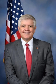
Cliff Bentz (R)

Maxine Dexter (D)
Source: campground records from RIDB, NPS, USFS EDW and BLM, unified by CAMPANAC, refreshed nightly