U.S. Forest Service · National Monument · California
Giant Sequoia National Monument
Here, 7% take walk-ups.
29Campgrounds
2Take walk-ups
$34–$36A night, across 15
457Sites, from 24
2,470–7,640 ftElevation
Where they are
29 of 29 mappedDrawing the map
© OpenFreeMap · OpenStreetMap · Esri hillshadeSource: RIDB · NPS · USFS EDW · BLM, unified by CAMPANAC · Oct 23, 2026
The campgrounds
29 campgrounds
 Hume LakeReservablefrom $3669 with a bear box69 sitesrigs to 40 ft5,280 ftdrinking watertoilets
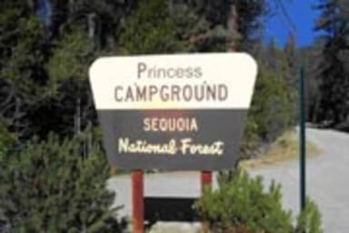 PrincessReservablefrom $361 with a bear box89 sitesrigs to 50 ft5,860 ft
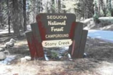 Stony Creek SequoiaReservablefrom $361 walk-in site47 with a bear box48 sitesrigs to 30 ft6,450 ftdrinking watertoilets
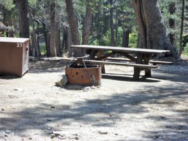 Big Meadow Campground - US Forest Service Sequoia National Forest (CA)Reservablefrom $3643 with a bear box43 with a tent pad43 sitesrigs to 42 ft7,570 fttoilets
 Quaking AspenReservableSeasonalfrom $366 group sites39 sitesrigs to 35 ft7,040 fttoilets
 WishonReservablefrom $3633 sitesrigs to 30 ft3,900 ft
 Eshom CampgroundReservablefrom $364 pull-through sites24 sitesrigs to 35 ft4,850 ftdrinking watertoilets
 Upper Stony Creek CampgroundReservablefrom $361 boat-in site24 with a bear box24 sitesrigs to 40 ft6,450 ftdrinking watertoilets
 Coy FlatReservableSeasonalfrom $3619 sitesrigs to 26 ft4,710 ft
 BelknapReservablefrom $3615 sitesrigs to 20 ft4,970 fttoilets
 Redwood MeadowReservablefrom $361 walk-in site14 sitesrigs to 30 ft6,150 fttoilets
 Ten Mile Campground (CA)Reservablefrom $3611 with a bear box2 hike-in sites11 sitesrigs to 40 ft5,800 fttoilets
 Holey MeadowReservableSeasonalfrom $349 sitesrigs to 20 ft6,340 fttoilets
 LandslideReservablefrom $368 sites5,770 ftdrinking watertoilets
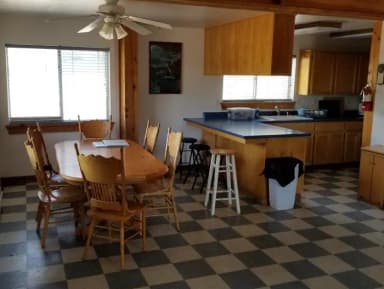 Grouse Valley CabinsReservableSites from $1753 sitesrigs to 20 ft4,760 fthookupstoilets
 Aspen Hollow Group (Sequoia National Forest, CA)Reservable1 with a bear box1 group site1 siterigs to 35 ft5,380 ftdrinking watertoilets
 Big Meadows Cabin (CA)ReservableSites from $1251 pull-through site1 siterigs to 22 ft7,600 ft
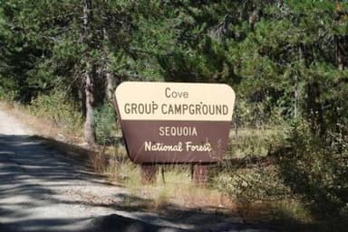 Cove GroupReservableSites from $2521 with a bear box1 group site1 siterigs to 25 ft6,410 ftdrinking watertoilets
 Fir GroupReservable1 with a bear box1 group site1 siterigs to 35 ft6,480 ftdrinking watertoilets
 Logger Flat GroupReservableSites from $2421 pull-through site1 group site1 siterigs to 35 ft5,450 ftdrinking watertoilets
 Long Meadow GroupReservableSites from $1711 group site1 siterigs to 20 ft5,970 fttoilets
 Poso Guard Station CabinReservable1 site4,590 fttoilets
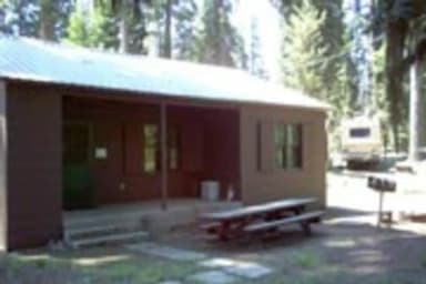 Quaking Aspen CabinReservableSeasonalSites from $2031 site7,040 fttoilets
 Wishon CabinReservableSites from $2031 site3,880 fttoilets
Source: RIDB · NPS · USFS EDW · BLM, unified by CAMPANAC · Oct 23, 2026
This land
measured from the nearest campground in the unitRoadless
Roadless
Roadless
Roadless
Roadless
Roadless
Camping here is a stake in what happens to it. More Than Just Parks tracks the threats and the comment windows.
Roadless areas: USFS Inventoried Roadless Areas via MTJP Roadless Map · Jul 29, 2026
Source: MTJP Threatened Lands map · Oct 9, 2026
Heads up
Wildfire
Cyrus fire · 15 mi from the nearest campground here · 2 acres · 100% contained
Wildfire
Kelso fire · 26 mi from the nearest campground here · 1 acres
Wildfire
Well fire · 31 mi from the nearest campground here
Wildfire
Wildfire Training fire · 44 mi from the nearest campground here · 0 acres
Source: NIFC/IRWIN via MTJP wildfire tracker · Oct 22, 2026
Who answers for this land
Giant Sequoia National Monument’s campgrounds sit in 2 congressional districts. These members vote on the laws that decide what happens to this land.

Vince Fong (R)
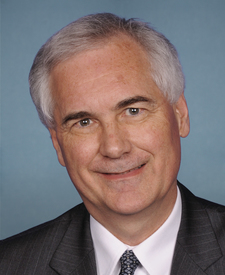
Tom McClintock (R)
Source: campground records from RIDB, NPS, USFS EDW and BLM, unified by CAMPANAC, refreshed nightly