U.S. Forest Service · National Forest · Colorado and Utah
Manti-La Sal National Forest
Here, 5% take walk-ups.
44Campgrounds
2Take walk-ups
$5–$20A night, across 26
431Sites, from 36
7,010–10,120 ftElevation
2States
Where they are
44 of 44 mappedDrawing the map
© OpenFreeMap · OpenStreetMap · Esri hillshadeSource: RIDB · NPS · USFS EDW · BLM, unified by CAMPANAC · Oct 23, 2026
The campgrounds
44 campgrounds
In 2 states, folded
Colorado1 campground›

Utah43 campgrounds · 1 open›
 Joes Valley ReservoirReservablefrom $1014 pull-through sites61 sitesrigs to 99 ft7,120 ftdrinking watertoilets
 Devils CanyonReservablefrom $2010 pull-through sites41 sitesrigs to 90 ft7,120 ftdrinking watertoilets
 NizhoniReservableSeasonalfrom $202 group sites23 sitesrigs to 53 ft7,810 ftdrinking watertoilets
 Potters PondReservablefrom $104 pull-through sites1 group site22 sitesrigs to 50 ft8,990 fttoilets
 Warner LakeReservablefrom $201 with a bear box1 group site21 sitesrigs to 20 ft9,400 fttoilets
 Ferron ReservoirReservablefrom $105 pull-through sites1 group site20 sitesrigs to 99 ft9,540 ftdrinking watertoilets
 Gooseberry Creek CampgroundReservablefrom $101 group site20 sitesrigs to 30 ft8,620 ftdrinking watertoilets
 Twelve Mile FlatReservablefrom $73 pull-through sites2 group sites19 sitesrigs to 35 ft10,120 fttoilets
 Lake Canyon Rec AreaReservablefrom $156 pull-through sites7 group sites18 sitesrigs to 50 ft8,880 fttoilets
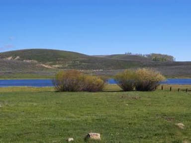 Gooseberry ReservoirReservablefrom $1017 sitesrigs to 40 ft8,450 fttoilets
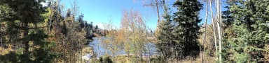 Lake HillReservablefrom $101 pull-through site2 group sites15 sitesrigs to 30 ft8,450 ftdrinking watertoilets
 Flat CanyonReservablefrom $101 pull-through site1 group site14 sitesrigs to 35 ft8,870 fttoilets
Source: RIDB · NPS · USFS EDW · BLM, unified by CAMPANAC · Oct 23, 2026
This land
measured from the nearest campground in the unitcritical
Roadless
Roadless
Roadless
Roadless
Roadless
Roadless
Camping here is a stake in what happens to it. More Than Just Parks tracks the threats and the comment windows.
Roadless areas: USFS Inventoried Roadless Areas via MTJP Roadless Map · Jul 29, 2026
Source: MTJP Threatened Lands map · Sep 28, 2026
Who answers for this land
Manti-La Sal National Forest’s campgrounds sit in 3 congressional districts. These members vote on the laws that decide what happens to this land.

Mike Kennedy (R)
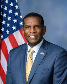
Burgess Owens (R)

Jeff Hurd (R)
Source: campground records from RIDB, NPS, USFS EDW and BLM, unified by CAMPANAC, refreshed nightly